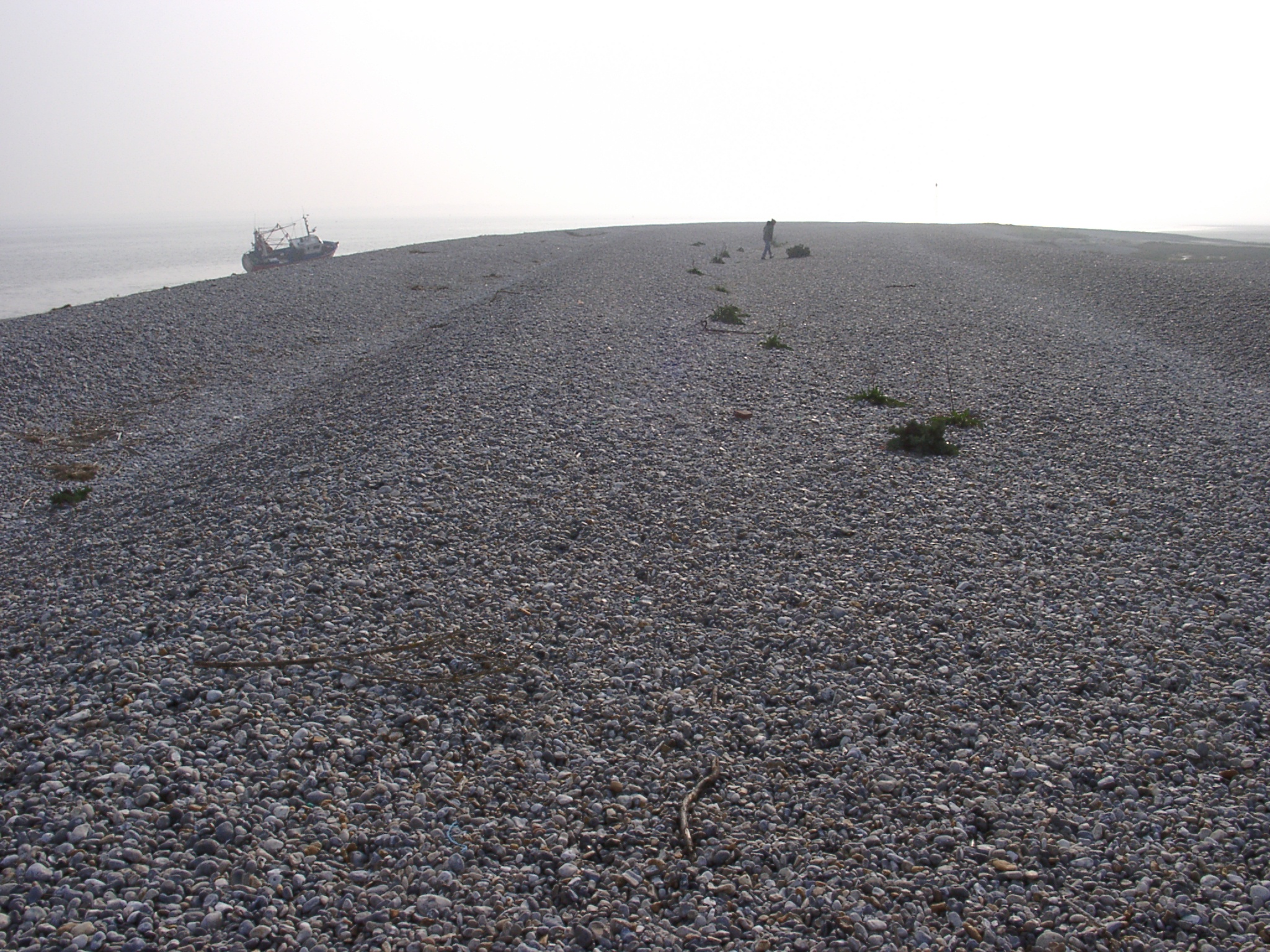
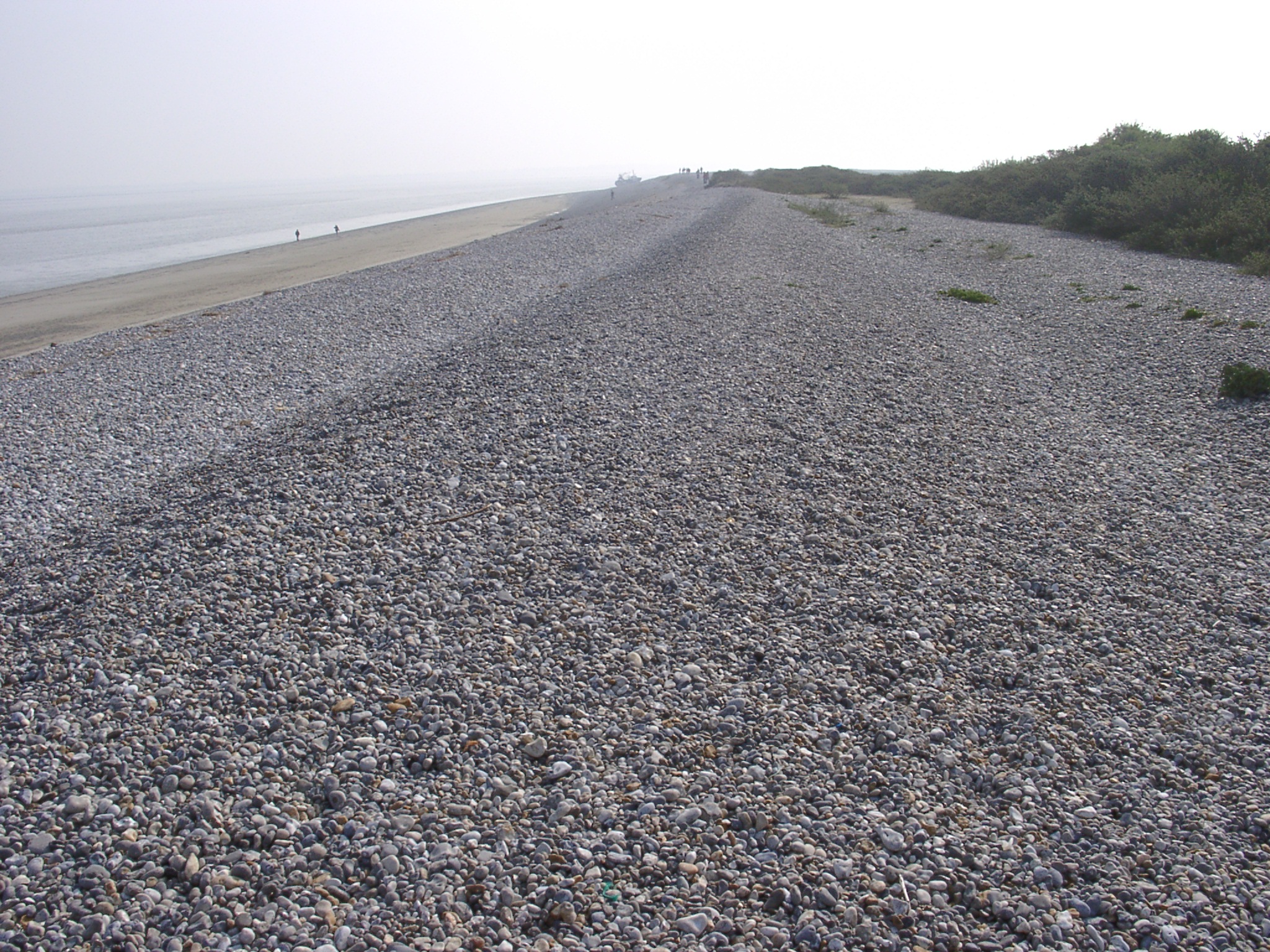
 04240001.JPG 24/04/2003 07:16 View east along the shingle ridges of Le Hourdel with fledgeling vegetation mainly in the troughs. |
 04240002.JPG 26/04/2003 22:09 Sediment condition in the trough between ridges at Le Hourdel with local sand accumulations below the shingle cover. |
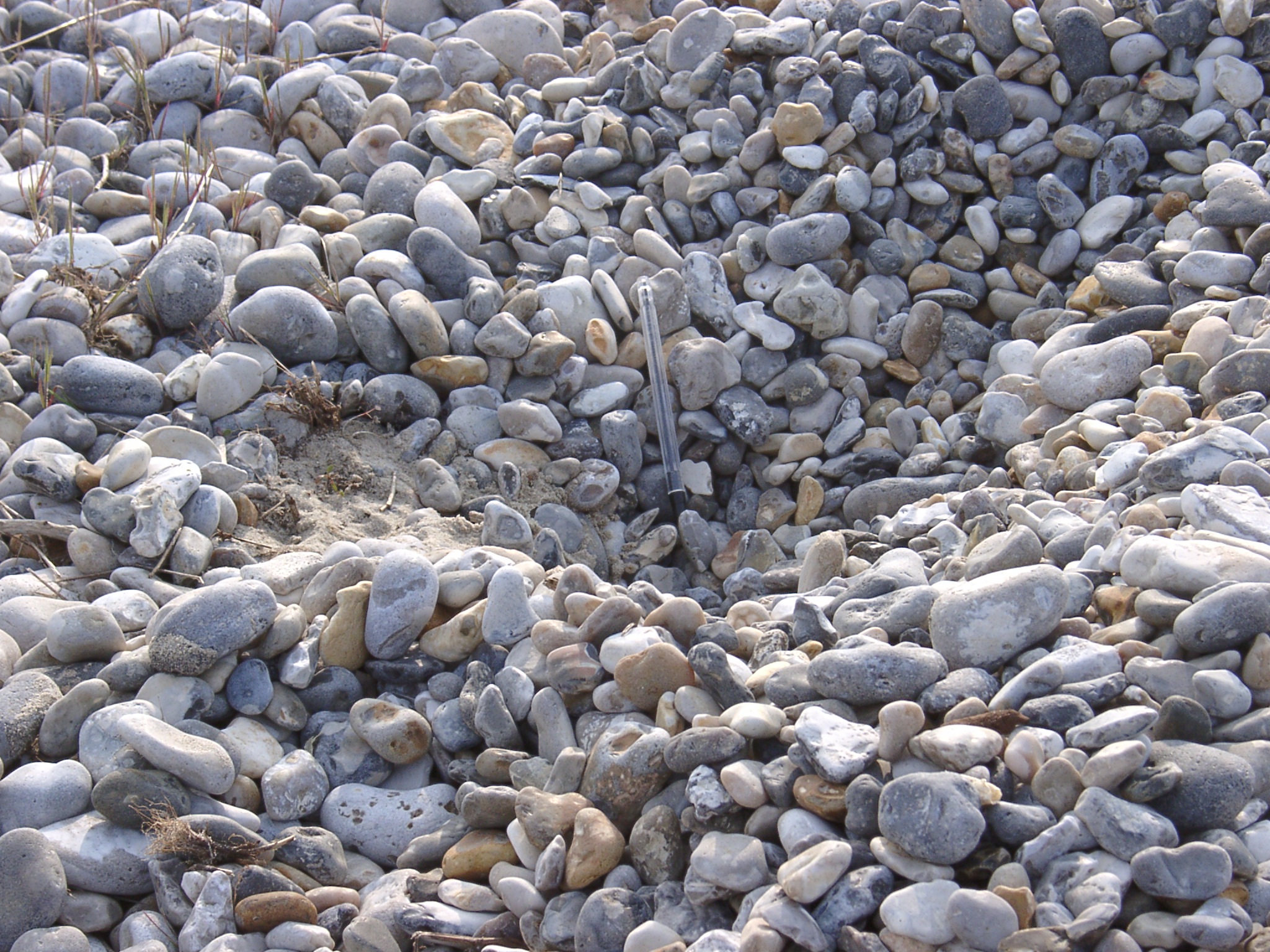 04240003.JPG 24/04/2003 07:20 Detail of sediment condition in the trough between ridges at Le Hourdel with local sand accumulations below the shingle cover. |
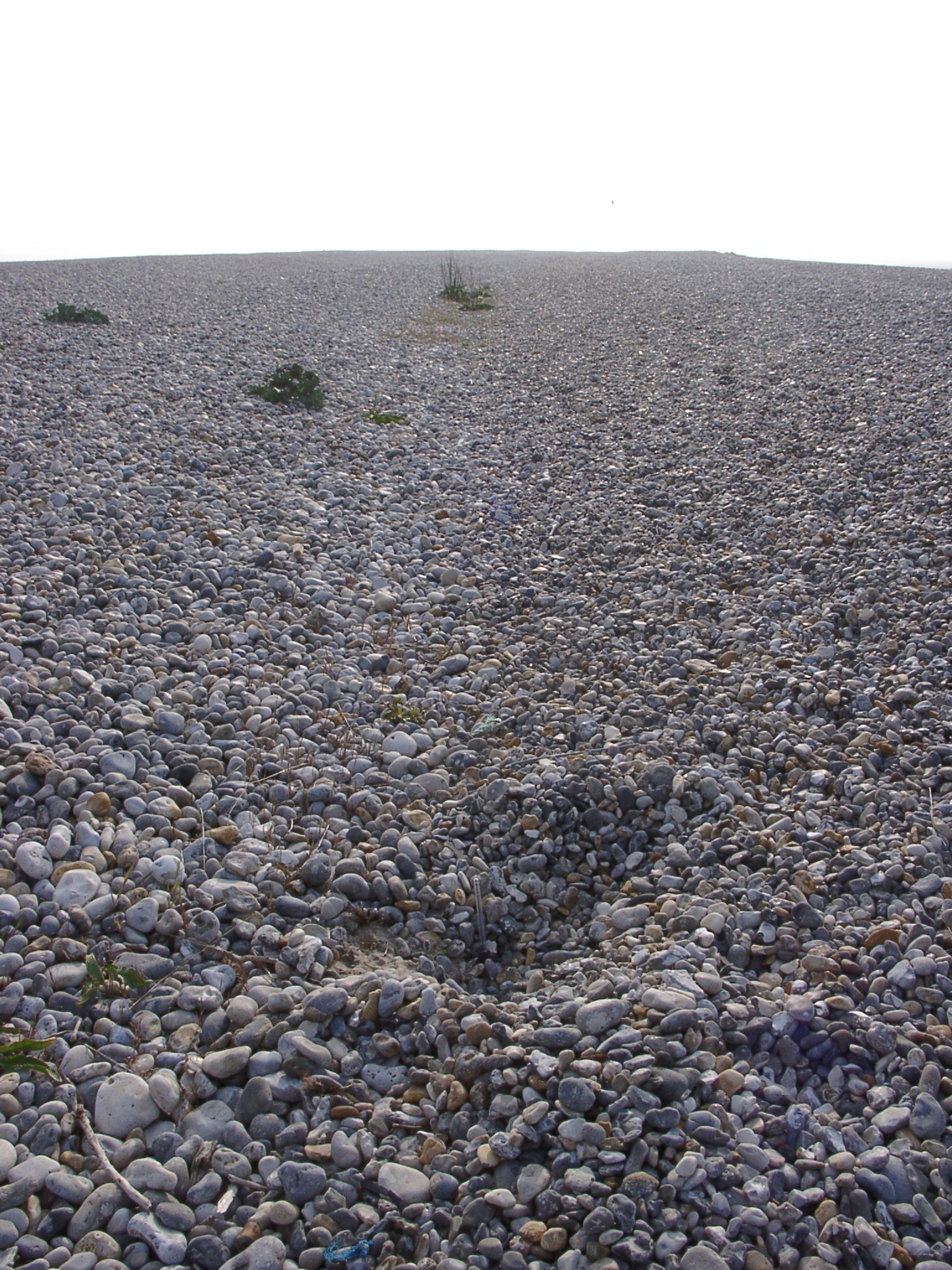
 04240004.JPG 24/04/2003 07:27 View west along the shingle ridges of Le Hourdel. |
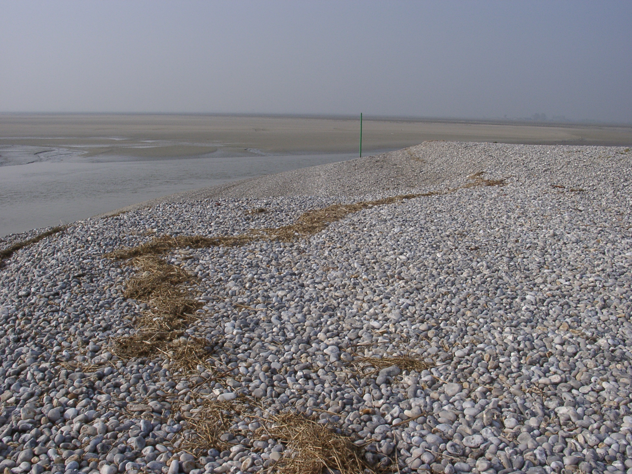 04240005.JPG 24/04/2003 07:29 View south along the tip of the spit showing the extensive sand banks in the Somme estuary in the background. |
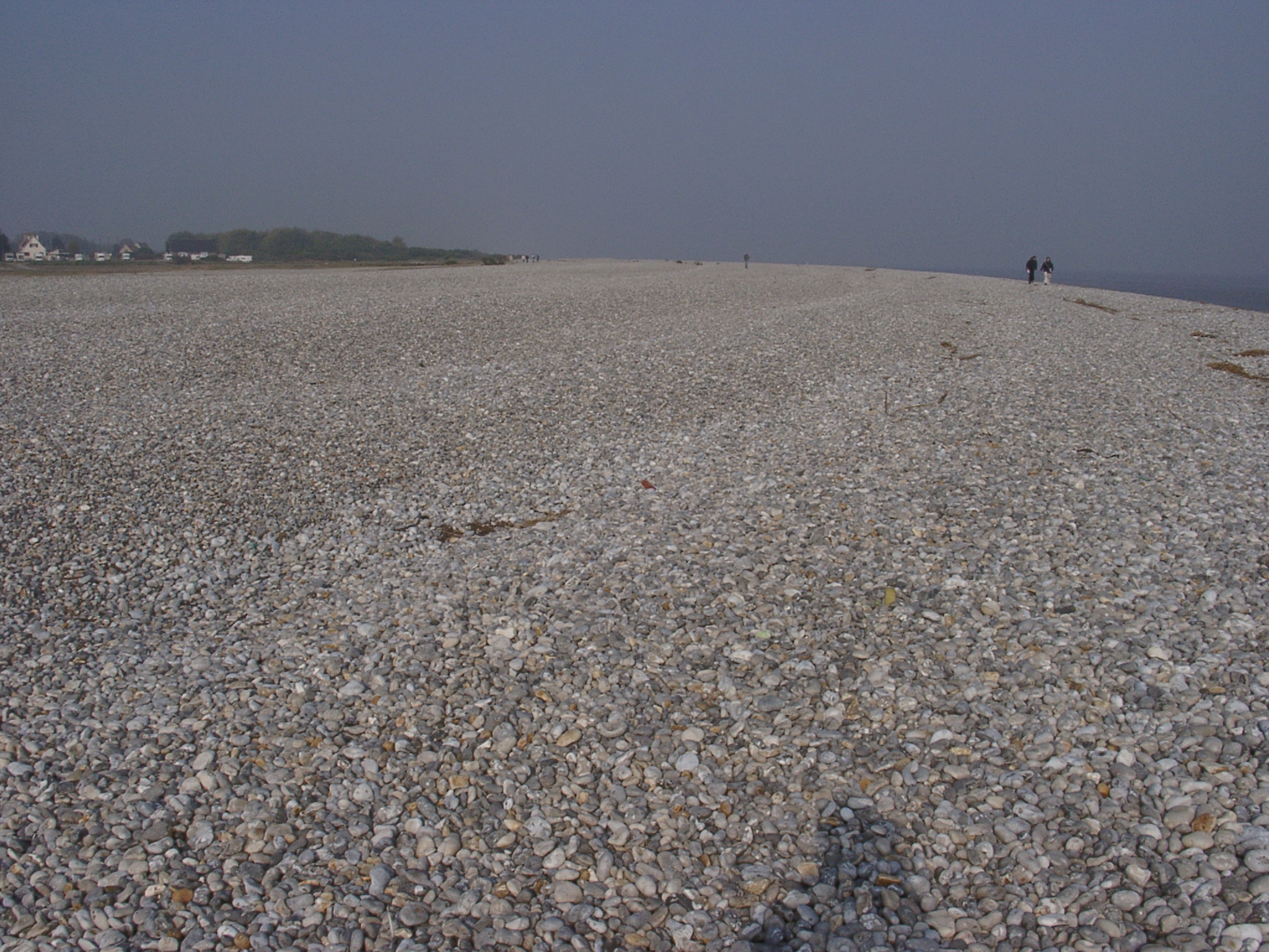
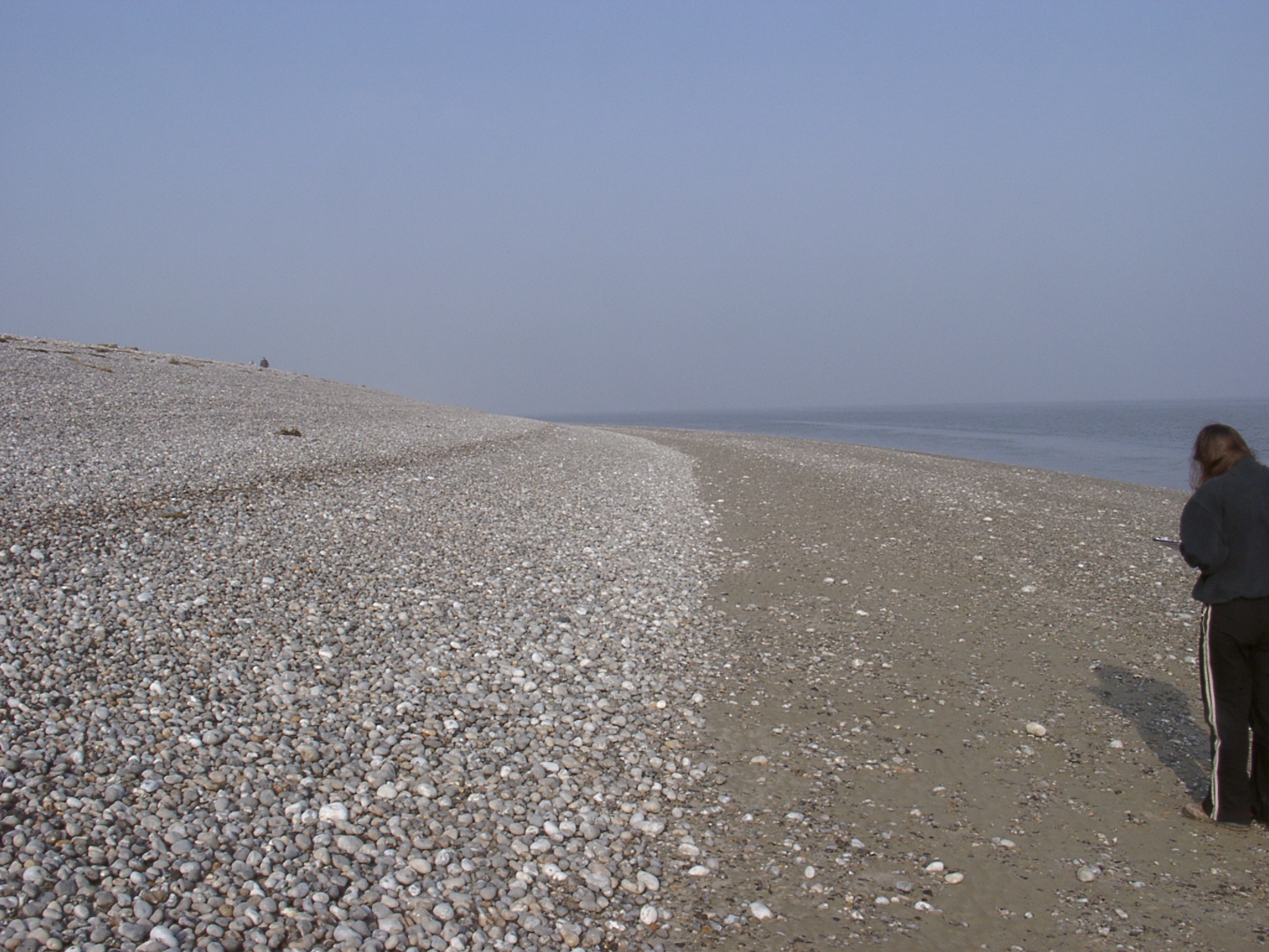 04240006.JPG 24/04/2003 07:38 View west along the beach at Le Hourdel. |
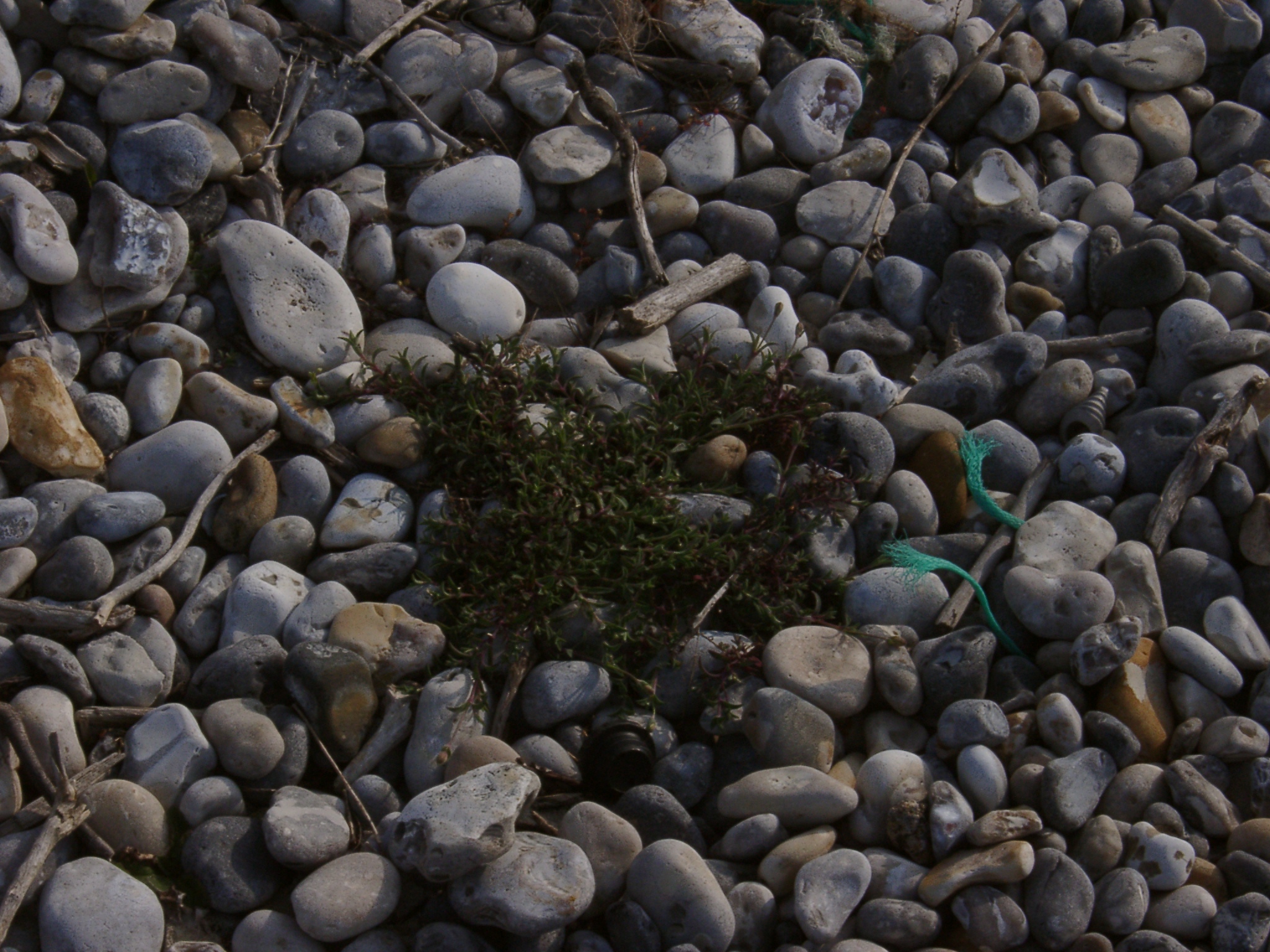
 04240007.JPG 24/04/2003 07:44 |
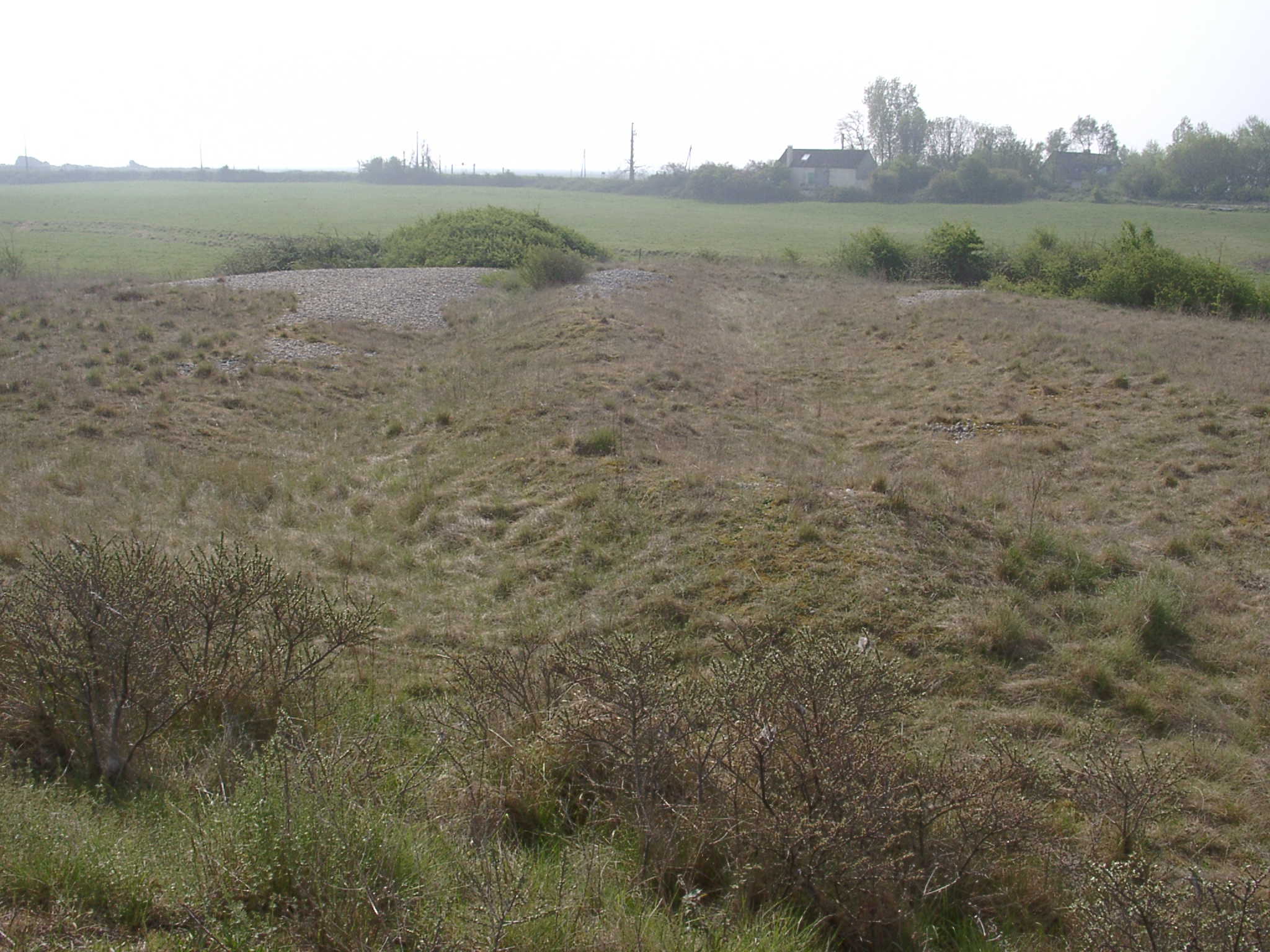
 04240008.JPG 24/04/2003 07:45 |
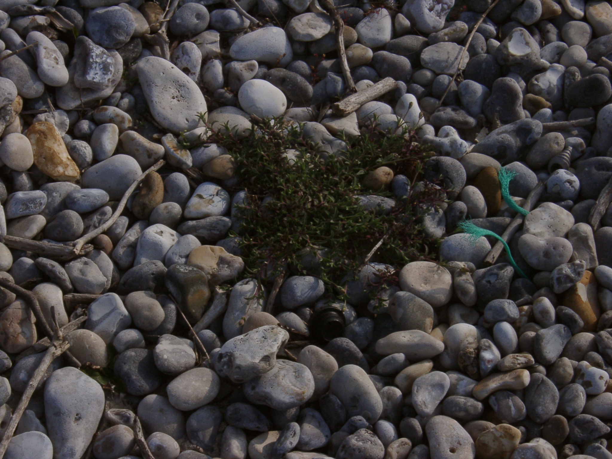
 04240009.JPG 24/04/2003 07:46 |
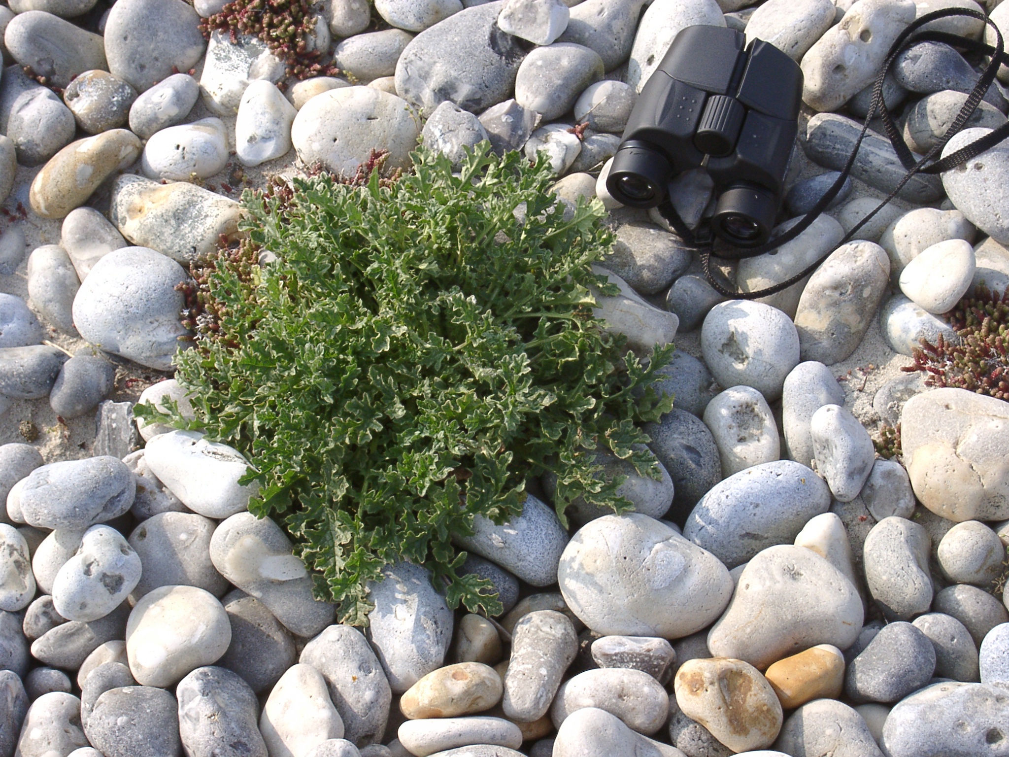
 04240010.JPG 24/04/2003 07:46 |
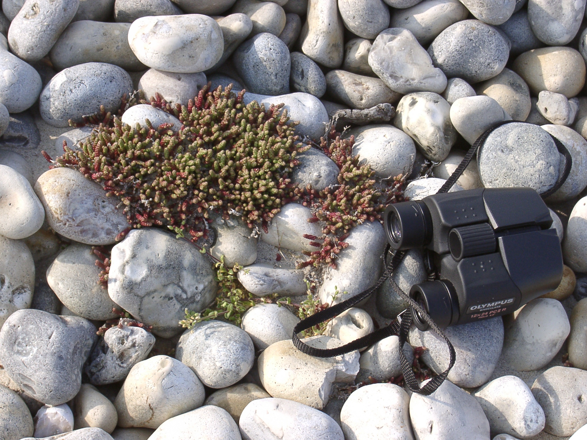
 04240011.JPG 24/04/2003 07:52 |
 04240012.JPG 24/04/2003 07:52 |
 04240013.JPG 24/04/2003 07:53 |
 04240014.JPG 24/04/2003 07:53 |
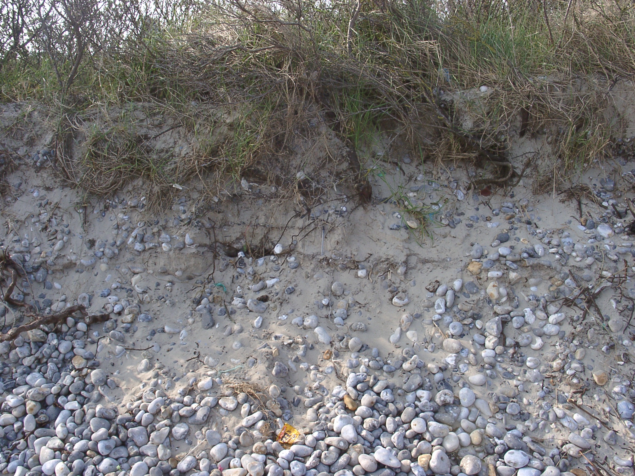 04240015.JPG 24/04/2003 07:56 Erosion of the upper beach at the eastern end of le Hourdel village shows alternating layers of sand and shingle illustrating the variable history of sedimentation along the tip of the spit. |
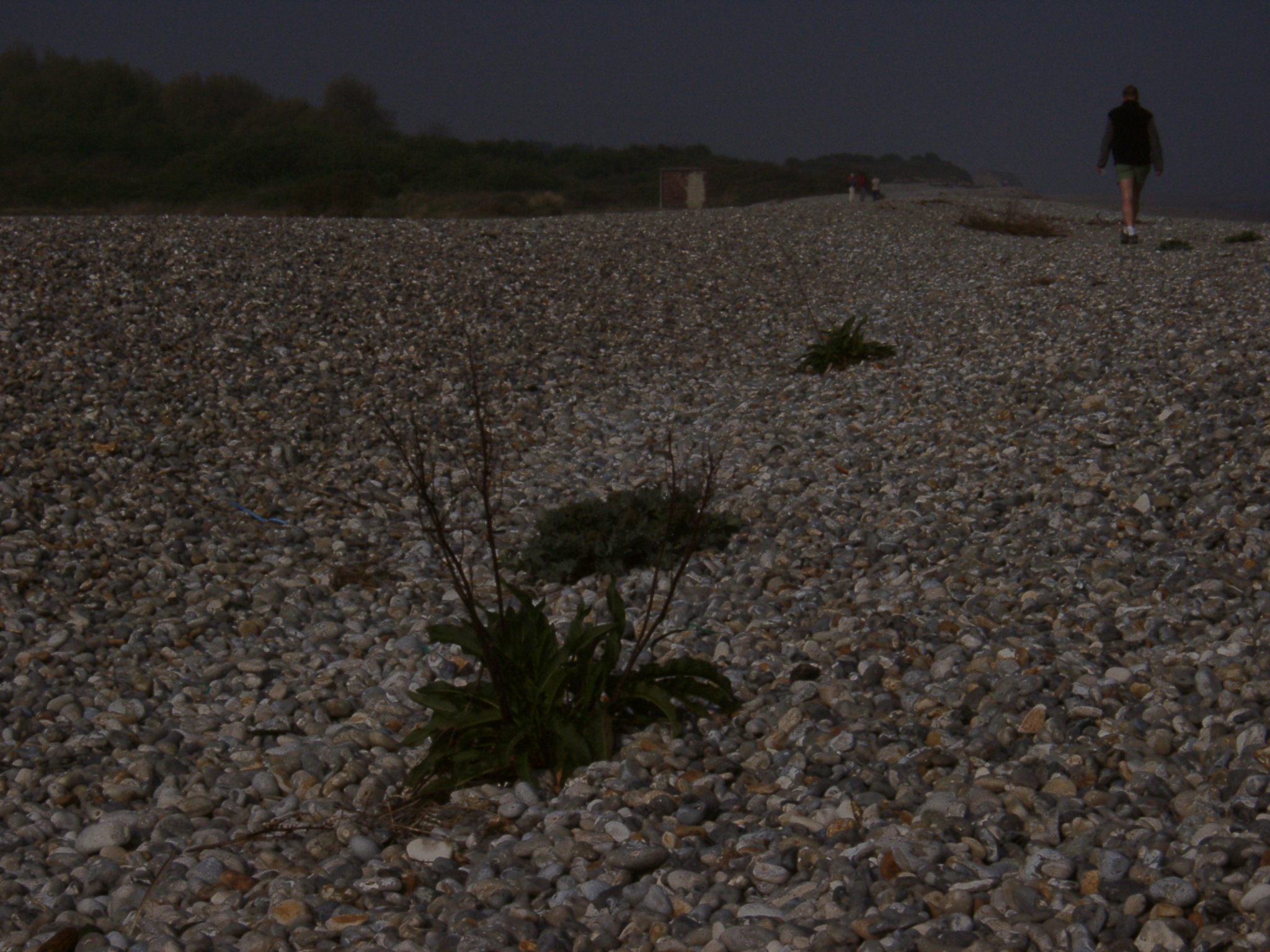
 04240016.JPG 24/04/2003 08:04 View east along shingle ridges north of Le Hourdel Village. |
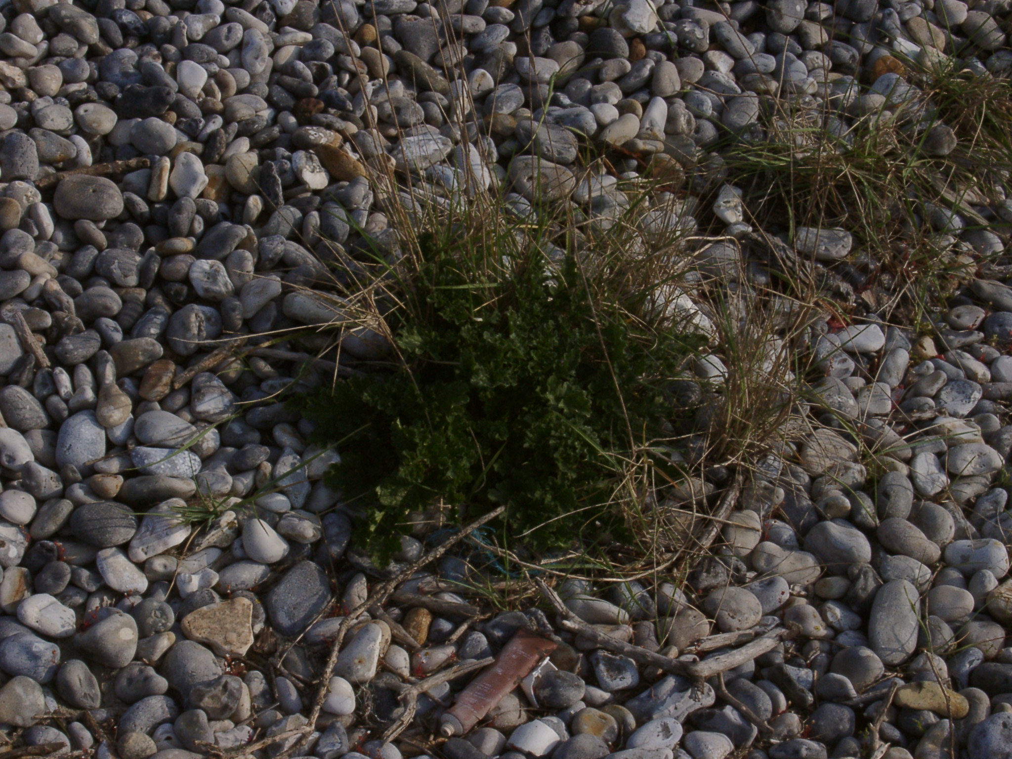
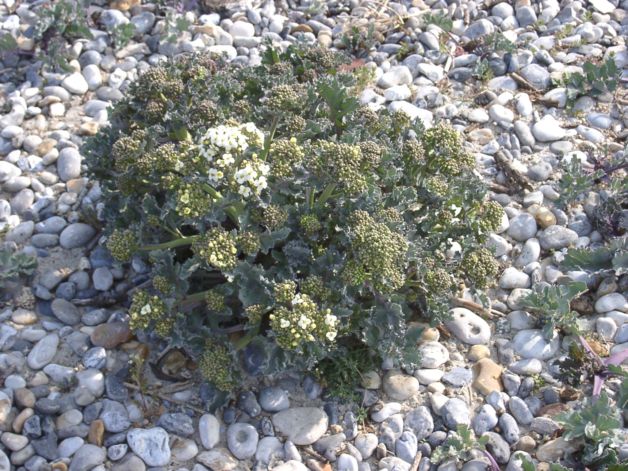 04240017.JPG 24/04/2003 08:06 Sea kale in bloom on the shingle ridges north of Le Hourdel village. |
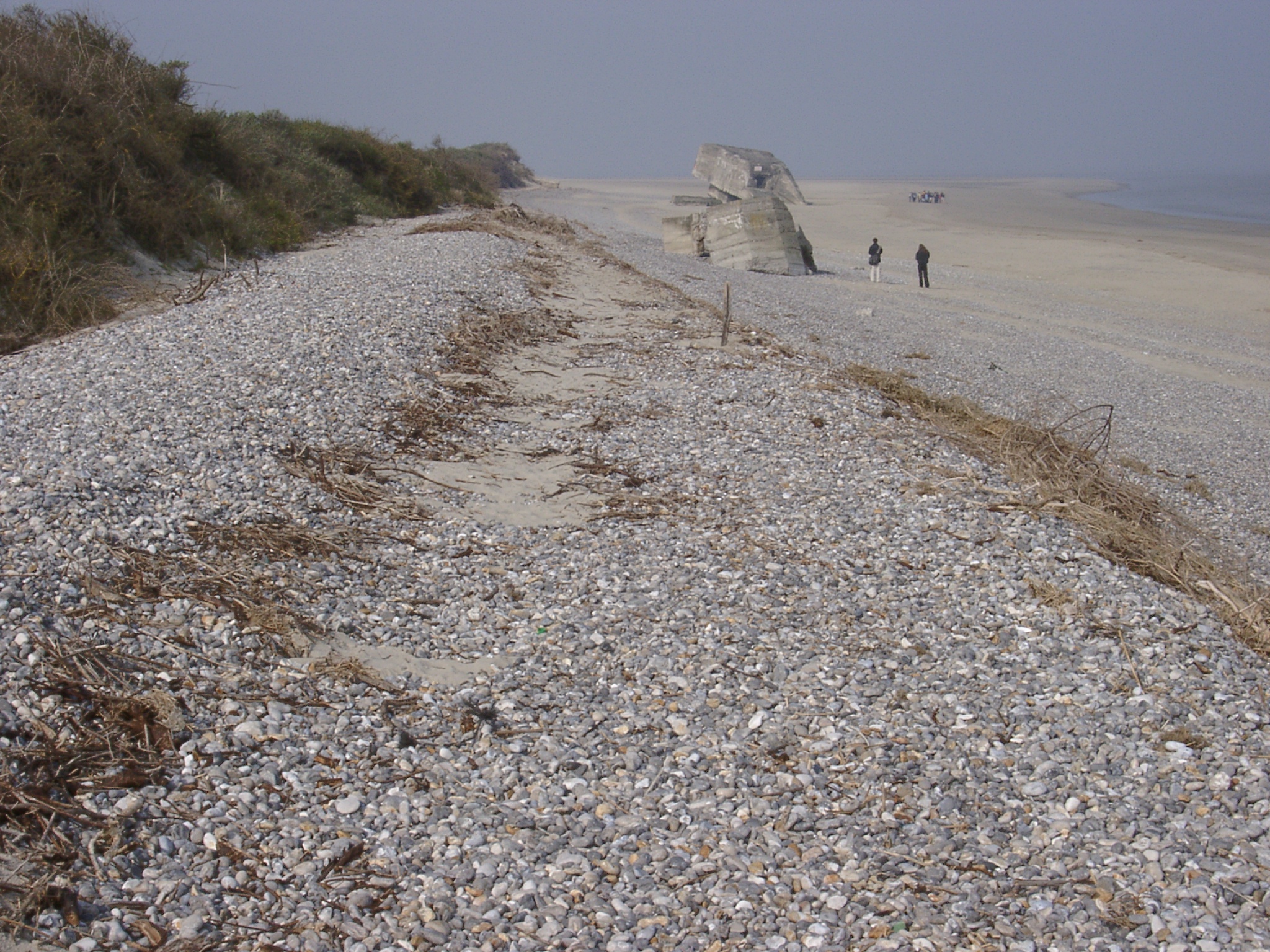 04240018.JPG 24/04/2003 08:15 View west along the shingle ridge north of le Hourdel village showing change from accumulation (shingle ridges in the foreground) to erosion (eroding dune ridge in the background). Position of bunker on the beach illustrates long term trend of erosion along this part of ~1m/year (persons in foreground and background for scale). |
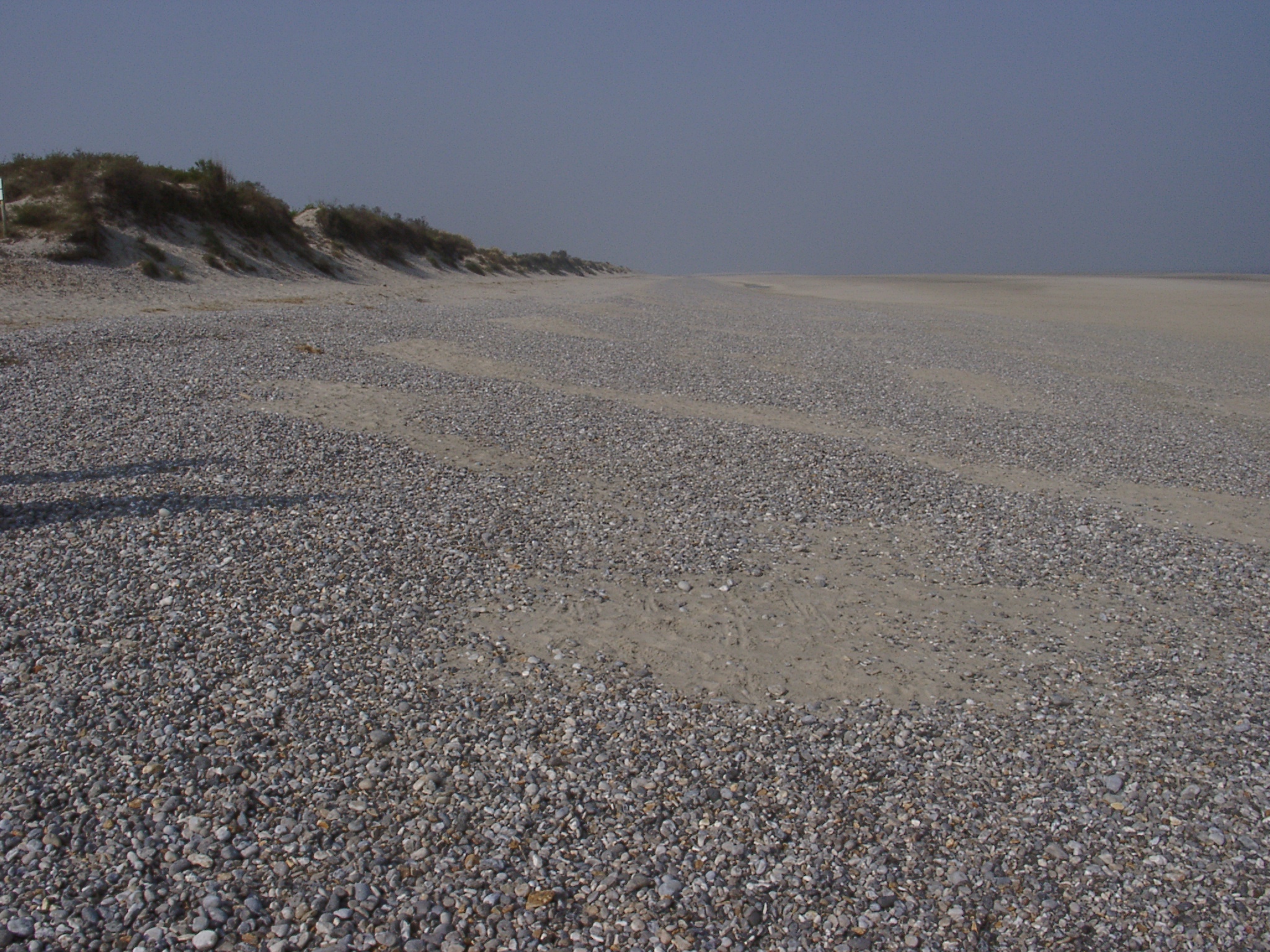 04240019.JPG 24/04/2003 08:26 View west from ~ position of the bunker showing a relatively flat gravel sand beach and eroding dune ridge. |
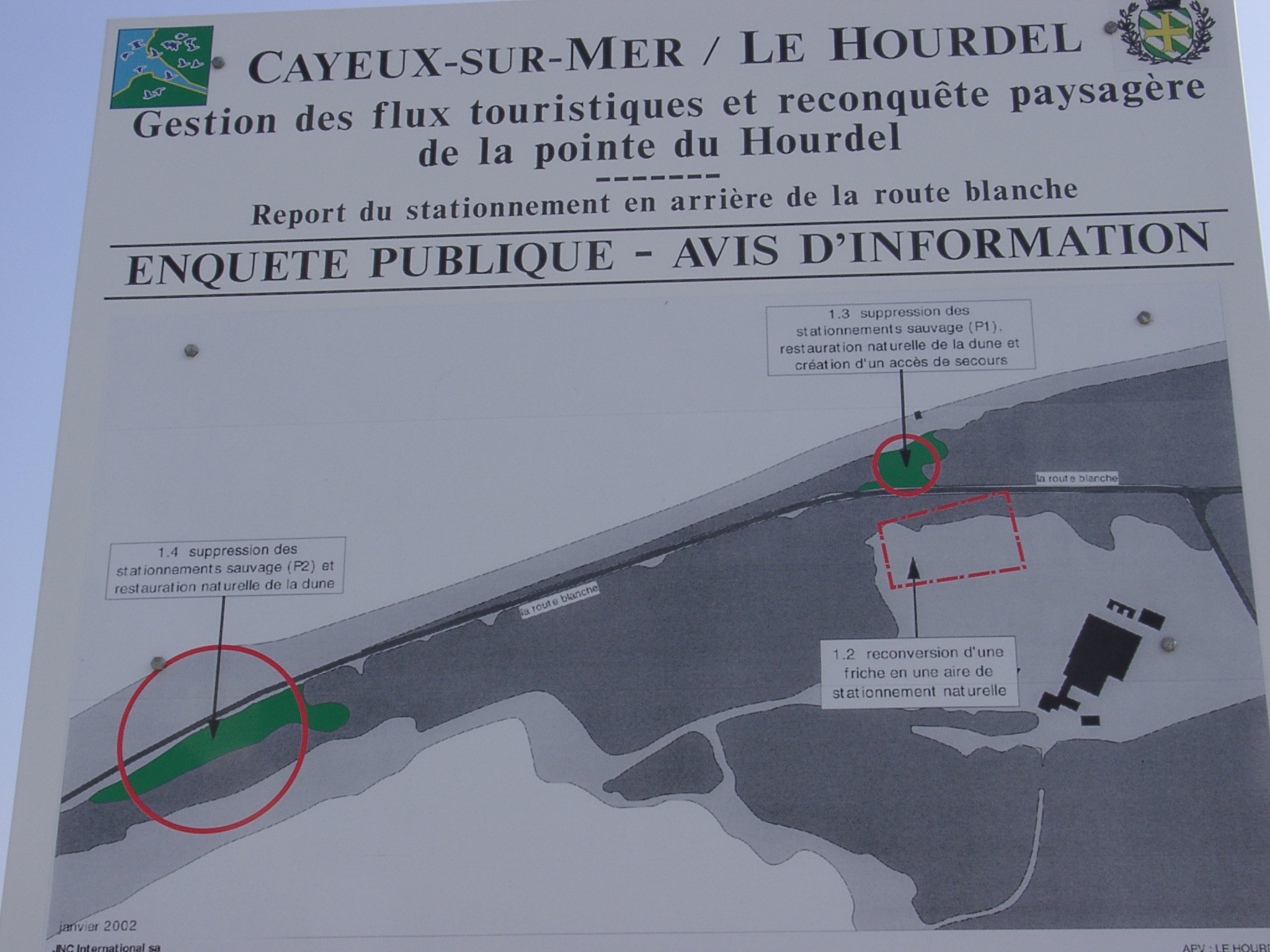 04240020.JPG 24/04/2003 08:34 Display board on planned management of parts of the shingle spit. |
 04240021.JPG 24/04/2003 08:40 Vegetated shingle ridges west of Le Hourdel village and south of the road showing former development of the shingle spit. |