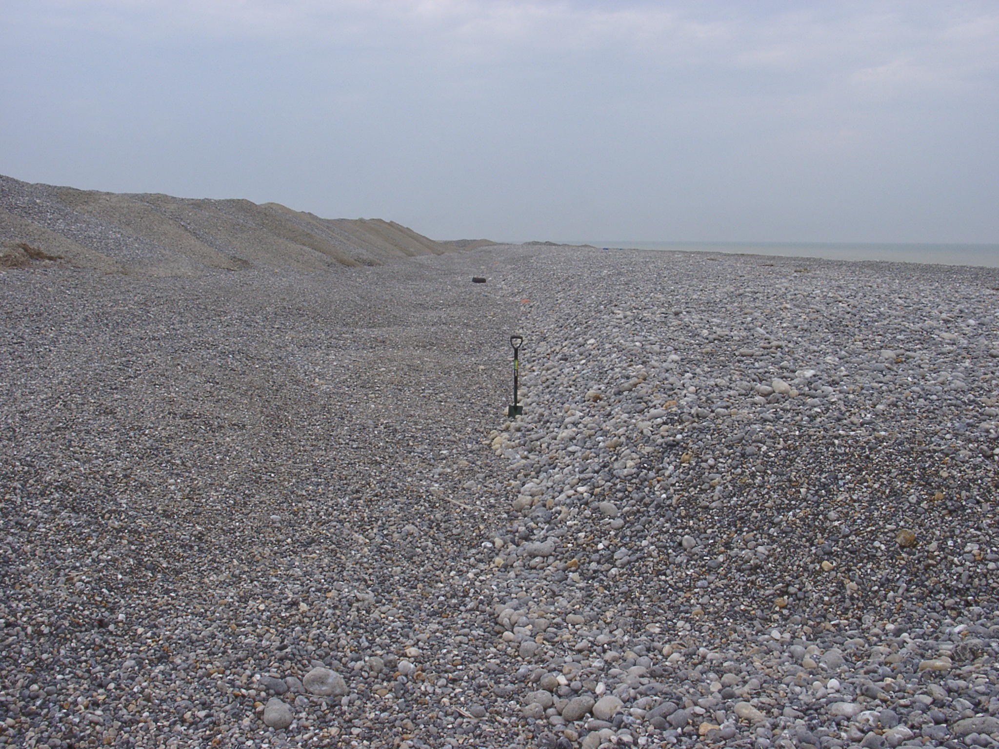
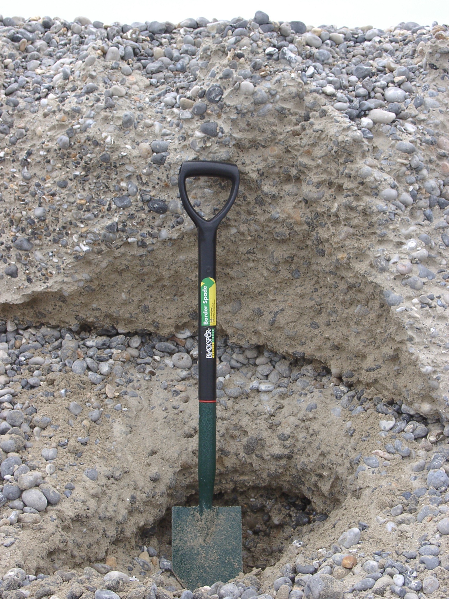
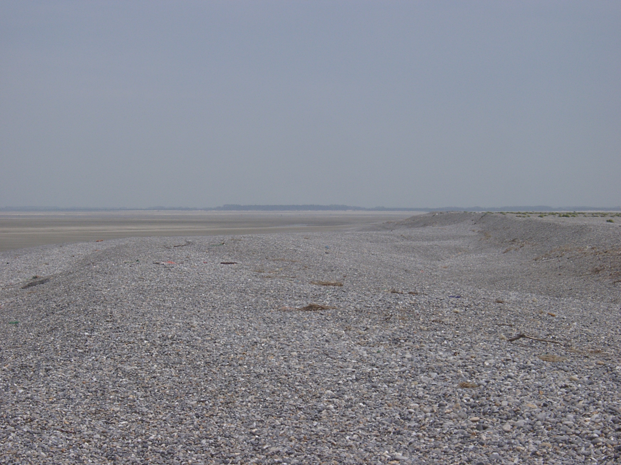
 x: 393288.956, y 5561509.871, north of Cayeux: View south along recent shingle accumulation illustrated by steep lee slope (spade = 90cm) and coarser material. Slopes in the left hand part result from storage of material extracted from the beach for recharge at Ault. |
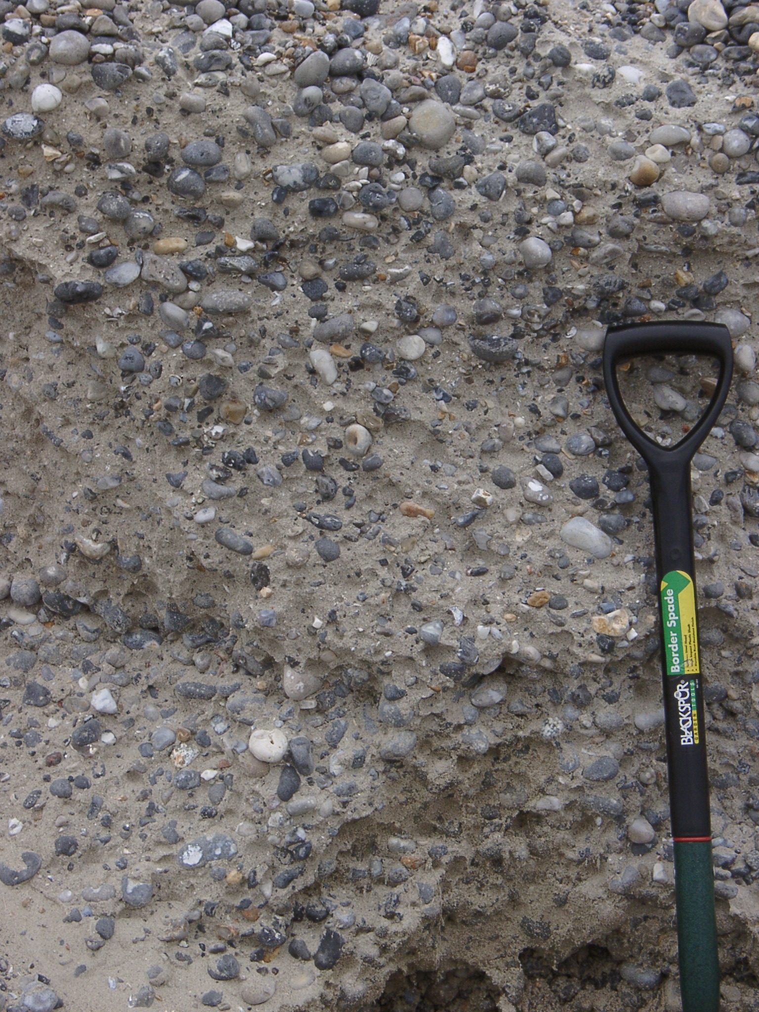
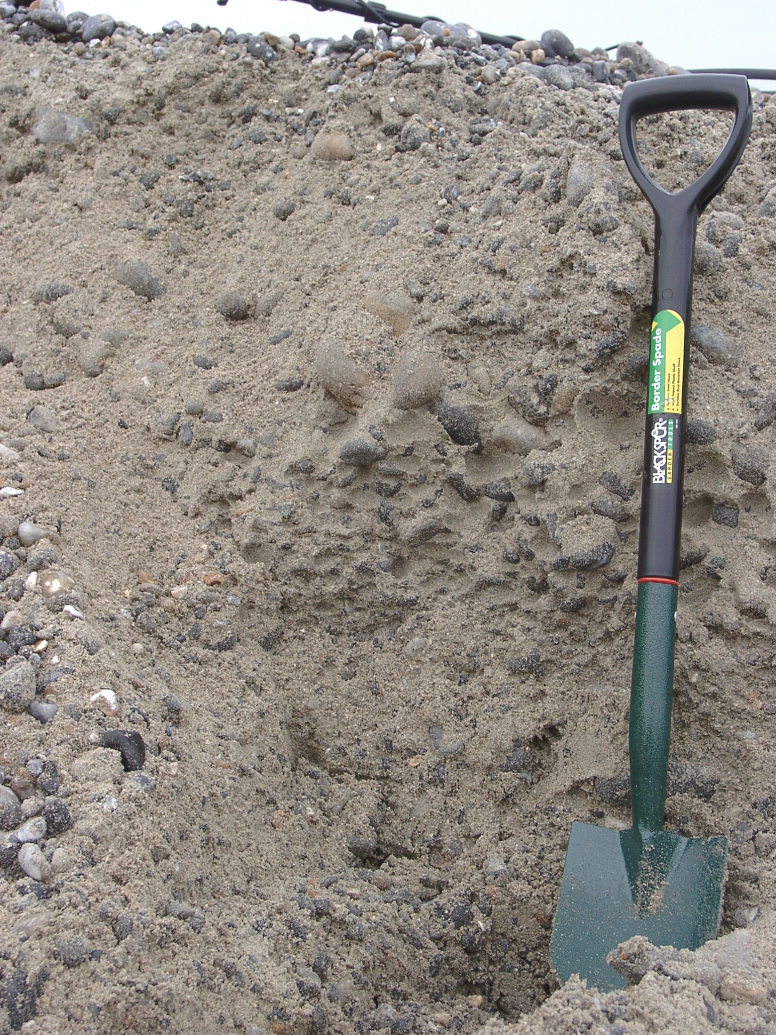 x: 393288.956, y 5561509.871, north of Cayeux: Section in excavation hole (spade = 90cm) showing sand rich sand and shingle mix with and indication of layers with different D50. |
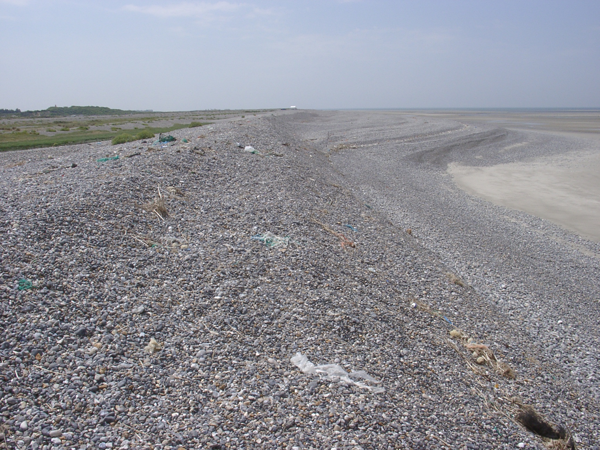
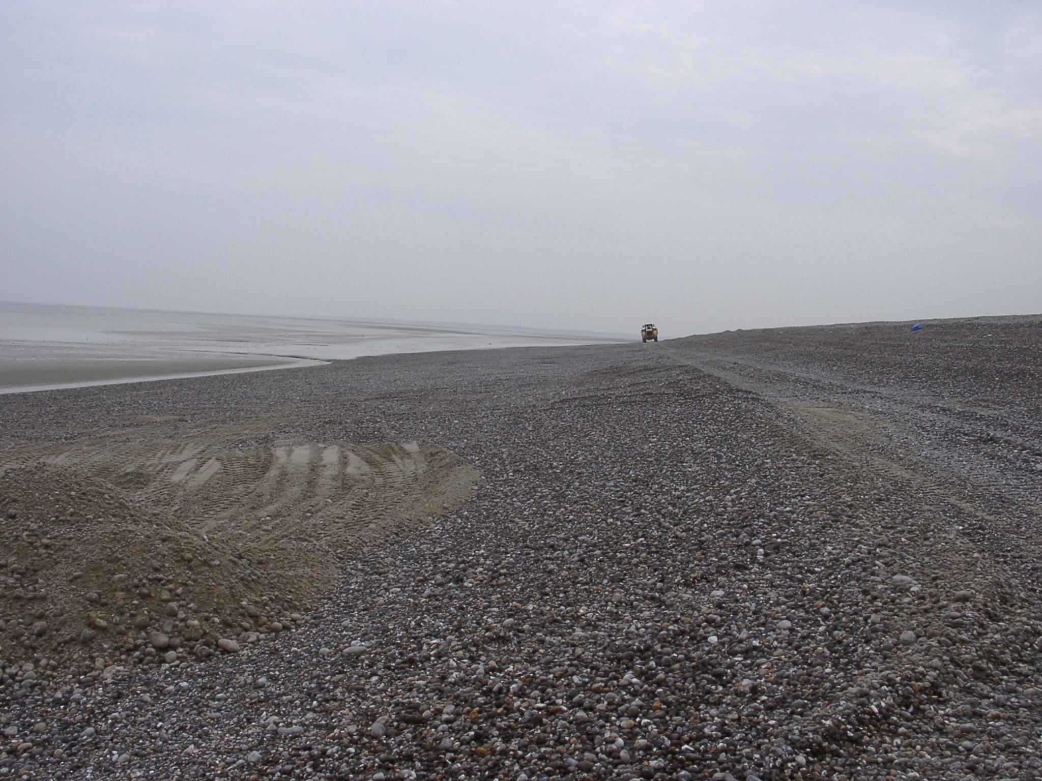 x: 393288.956, y 5561509.871, north of Cayeux: View north along the beach with bulldozer in the background and extraction hole on the left hand side. Almost no compaction along the bulldozer paths. |
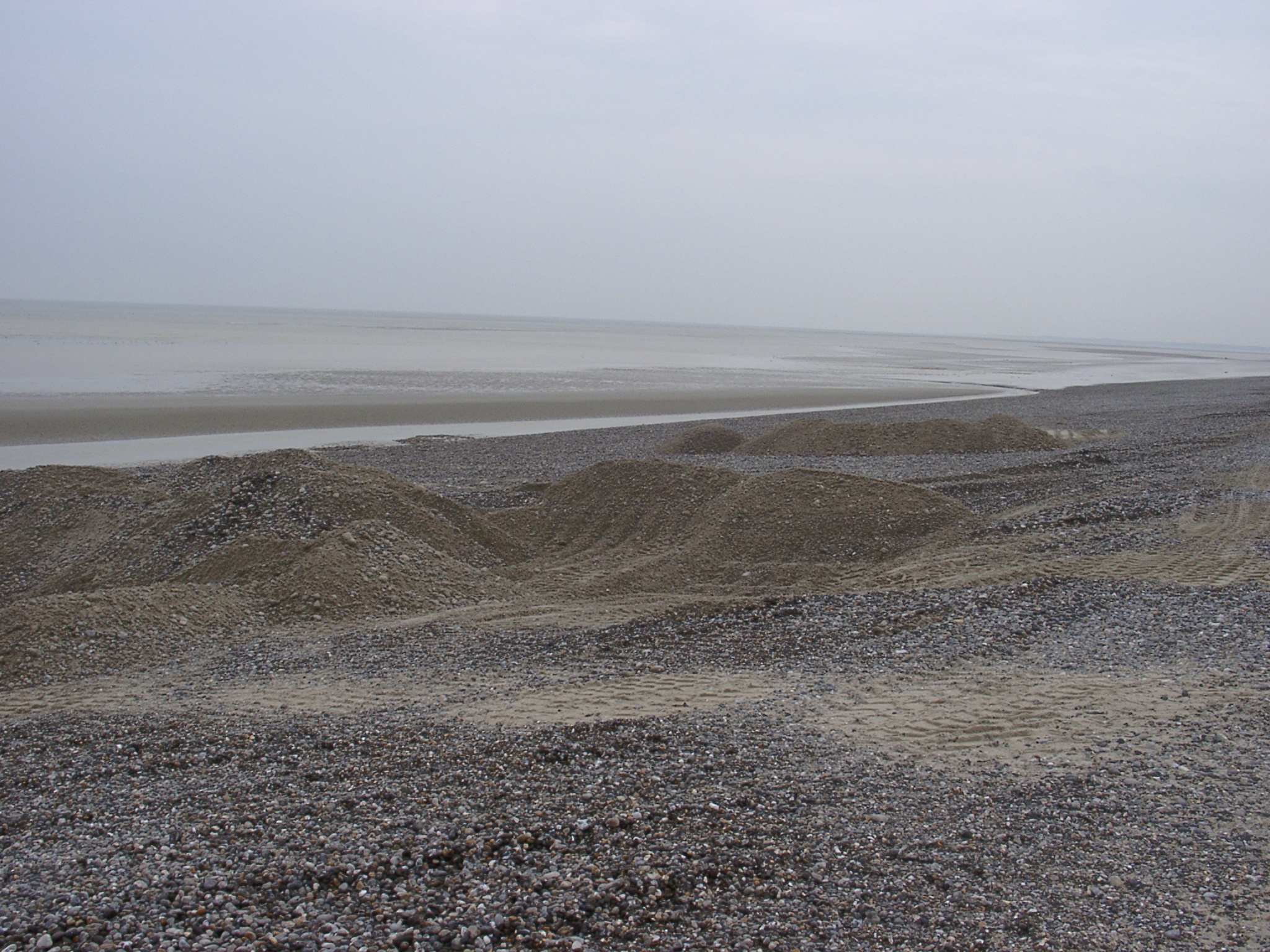 x: 393288.956, y 5561509.871, north of Cayeux: View of extraction holes. Shingle extraction is carried out as shallow (<1m) holes leaving both holes and heaps of shingle on the beach. |
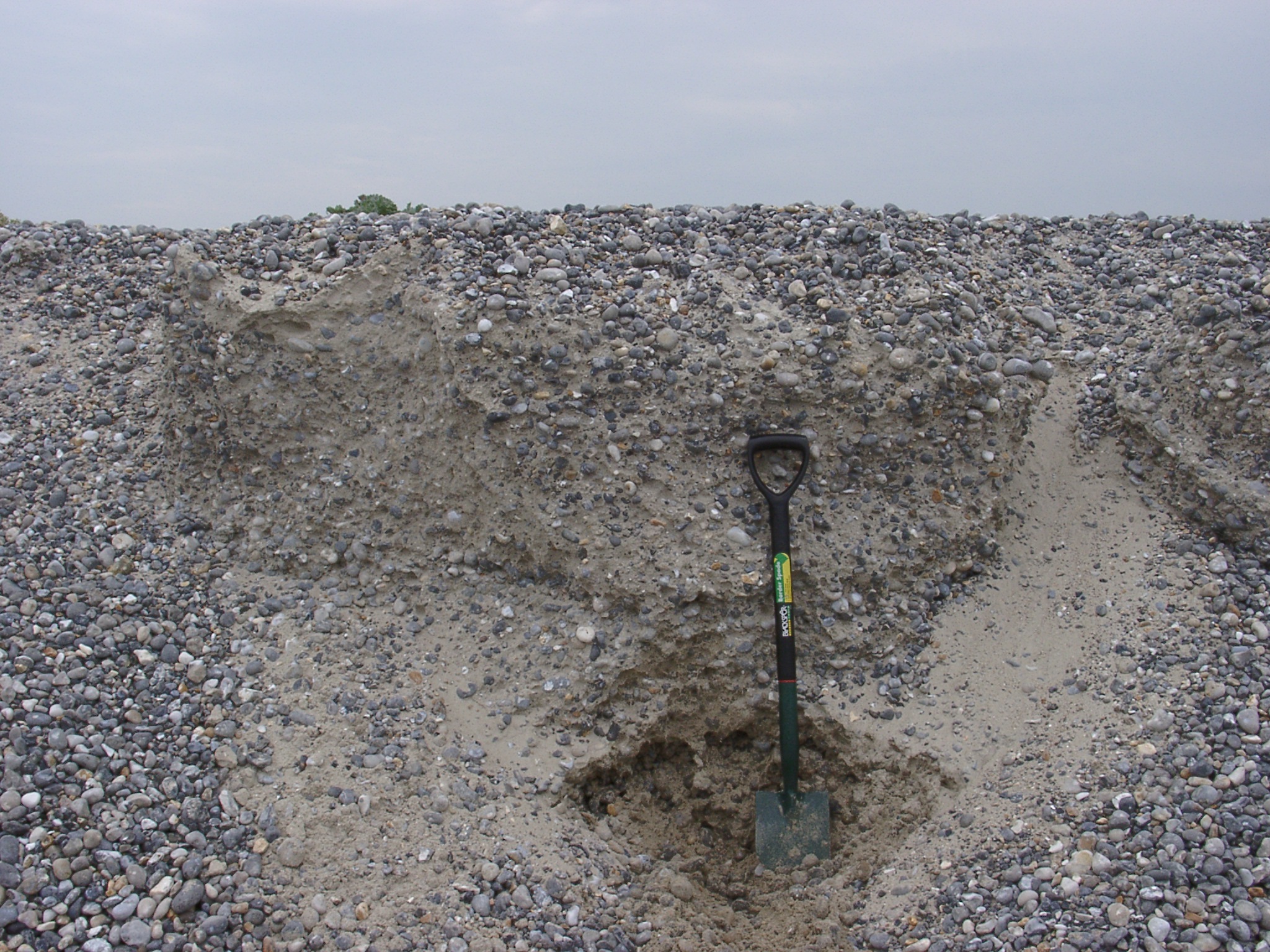 x: 393288.956, y 5561509.871, north of Cayeux: Section in slope composed of material dumped for later recharge. |
 x: 393288.956, y 5561509.871, north of Cayeux: Detail of section in slope composed of material dumped for later recharge. |
 x: 393288.956, y 5561509.871, north of Cayeux: Section in slope composed of material dumped for later recharge showing two coarse shingle layers without sand in the matrix (near the blade and halfway up the handle). |
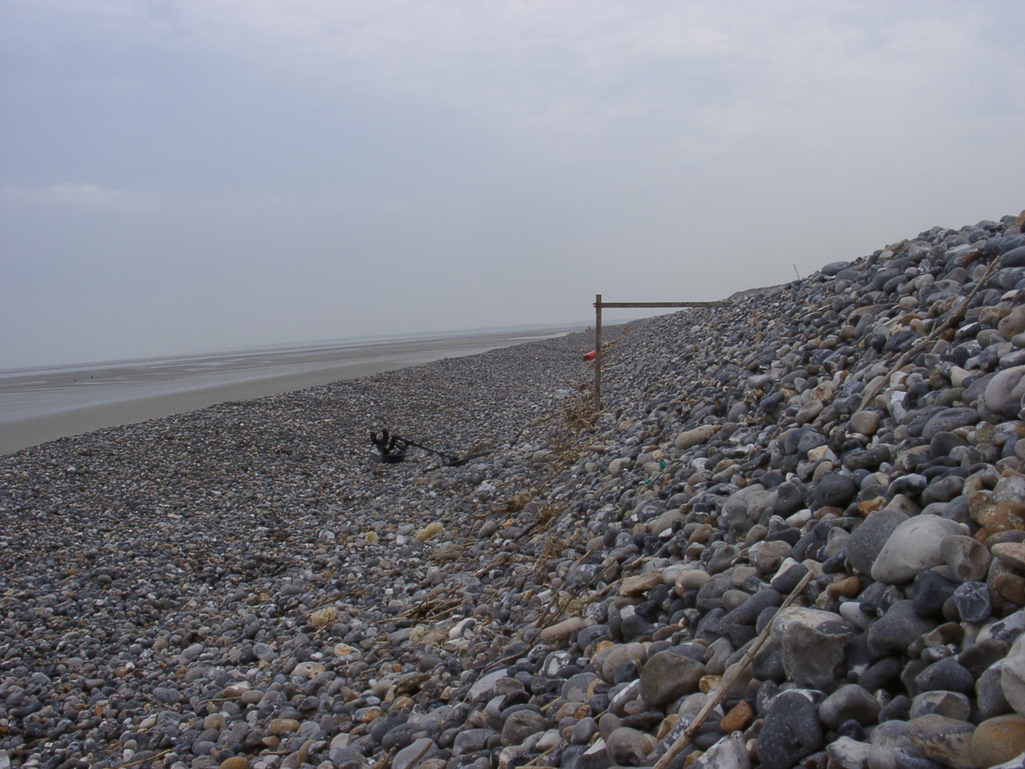 x: 393449.044, y: 5561713.655. View north along recent storm berm with almost 45° slope. Wood stakes are ~1m long. |
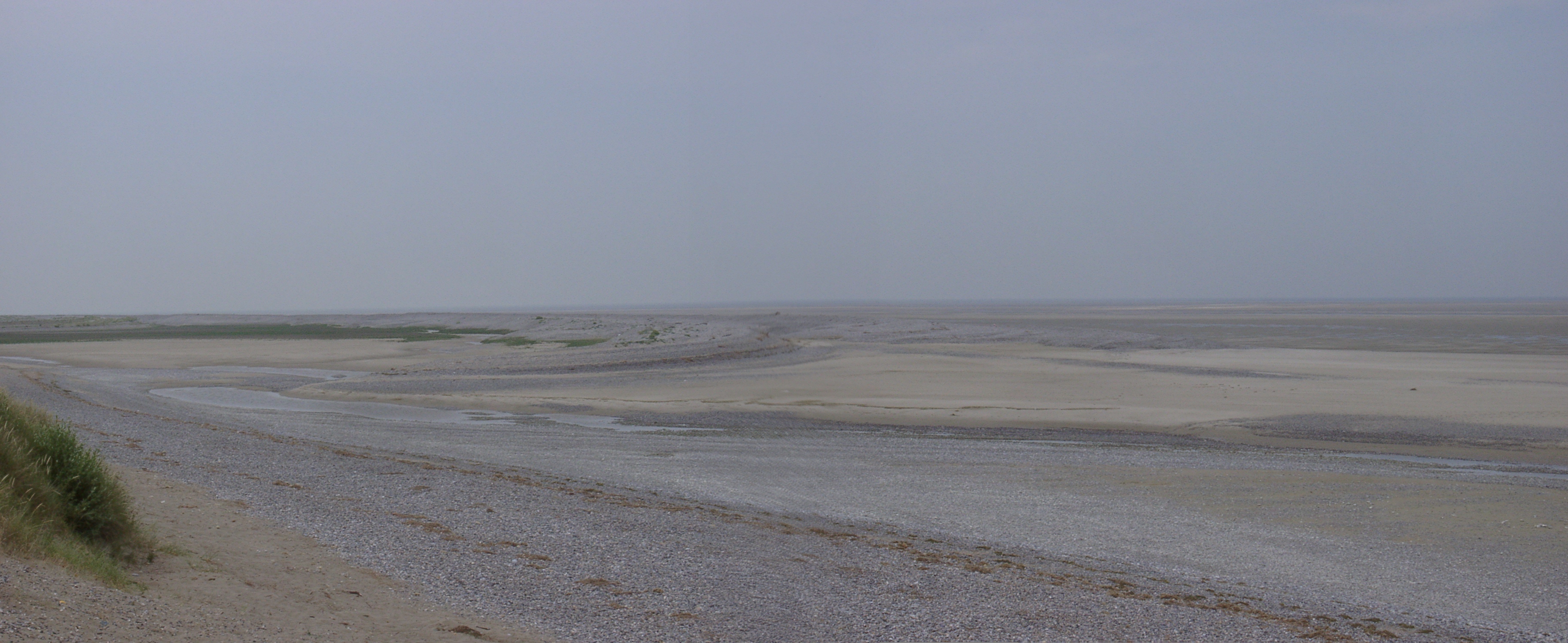 Termination of the Cayeux spit. A distinc new spits is developing with a hiatus to the old one ins relation to the more extensive sand spit (which is actually sand and gravel) which has pushed the contours seawards. |
 x: 394527.436, y: 5562730.463. View south along the beach showing the irregular outline of the beach. |
 x: 394527.436, y: 5562730.463. Detailed view south along the beach showing the irregular outline of the beach. |
 x: 394527.436, y: 5562730.463. View north along the beach showing the irregular outline of the beach that in the background joins again the main ridge on the right hand side. |
 x: 394527.436, y: 5562730.463. Detailed view north along the beach showing the irregular outline of the beach that in the background joins again the main ridge on the right hand side. |
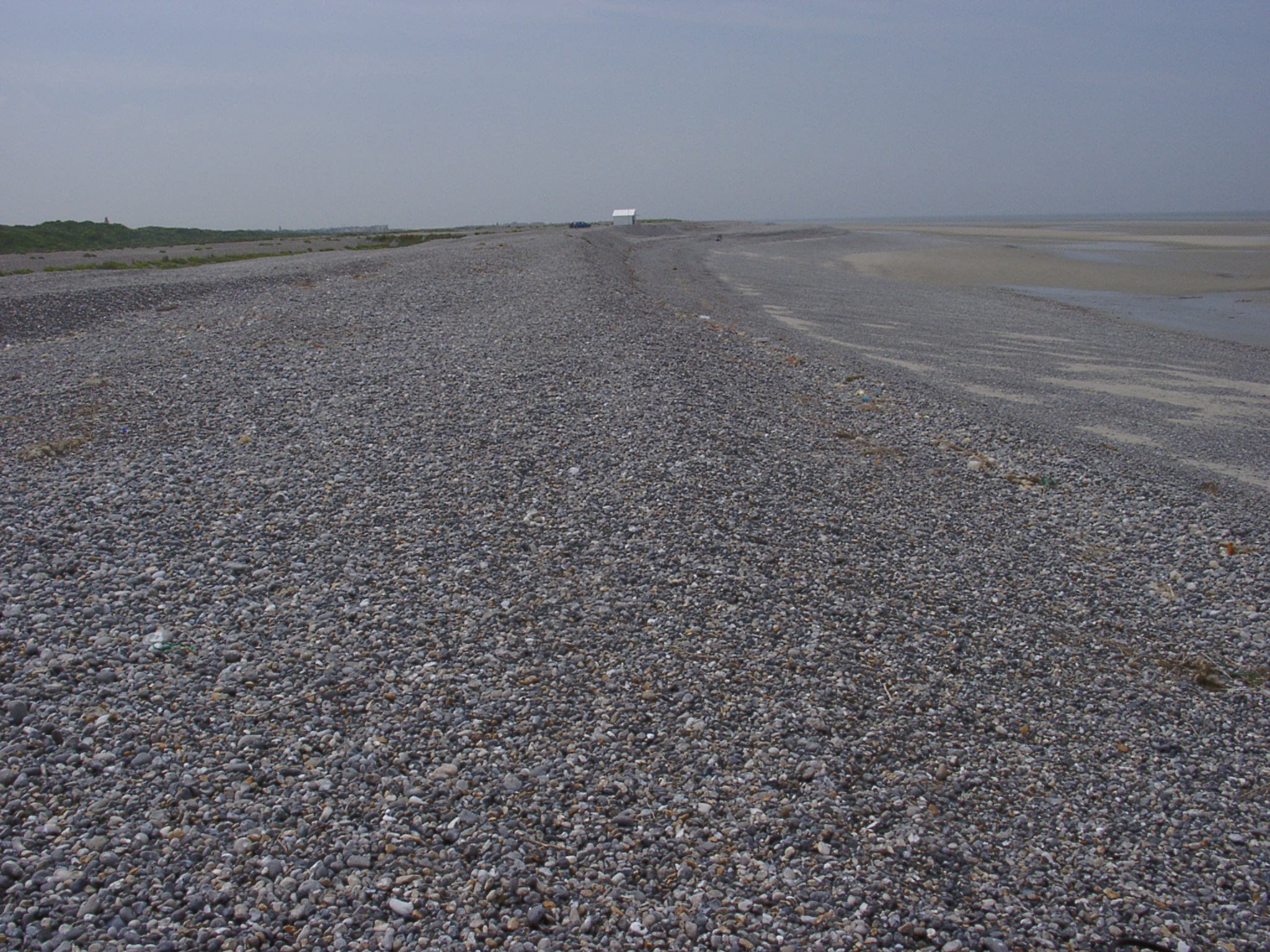
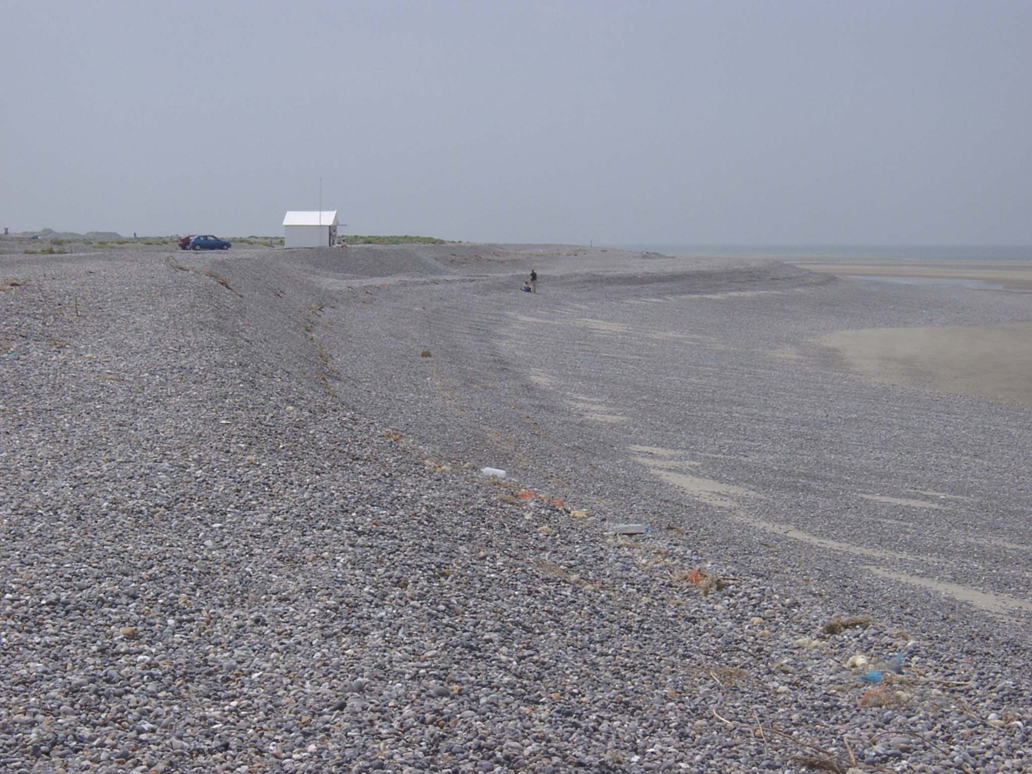
 x: 394797.081, y: 5562909.090. View south along the beach showing the irregular outline of the beach that in the foreground joins again the main ridge from which the photo was taken. |
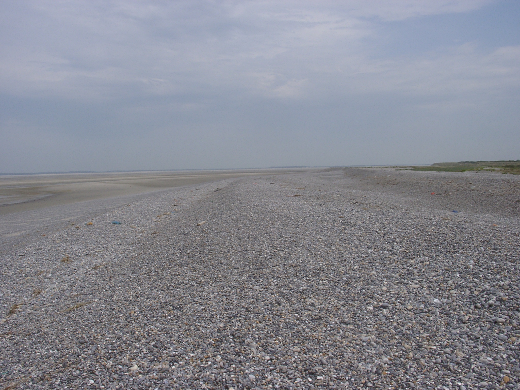
 x: 394797.081, y: 5562909.090. View north along the beach showing older beach ridges landward. |
 x: 394740.705, y: 5563100.957. View depression between sand waves on the foreshore showing ripples in relation to low water conditions wich were subsequently erased by wavelet action against the sides with the soaking away of the water. |
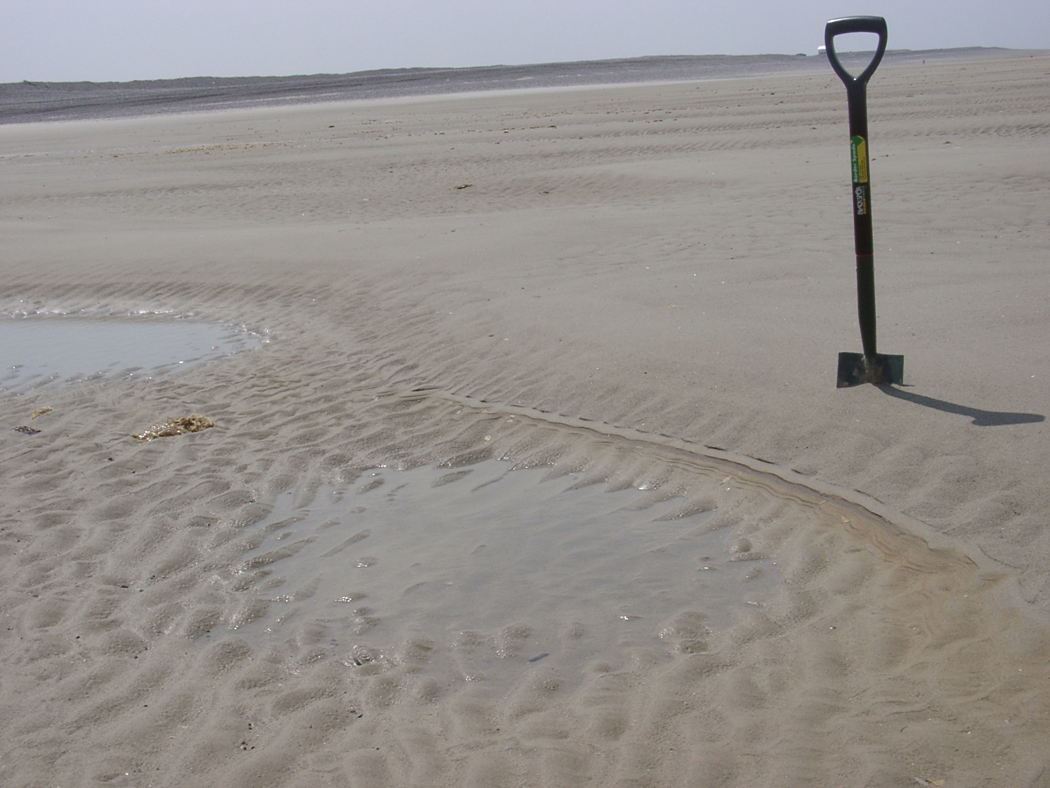
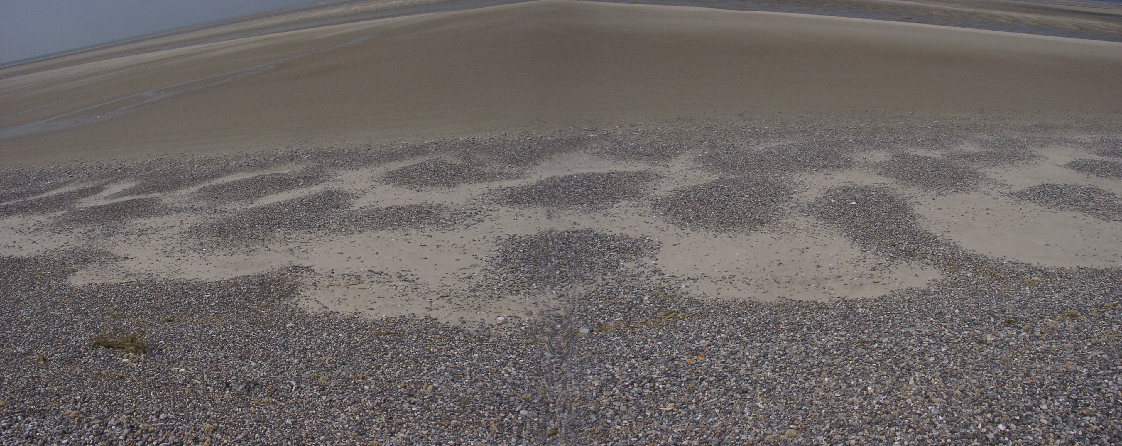 x: 395021.505, y: 5563057.703. View of low level beach cusps and associated depositional pattern alternating by half a wavelength down the beach. Average cusp width ~2.5m. Sand cover is <5cm deep. |
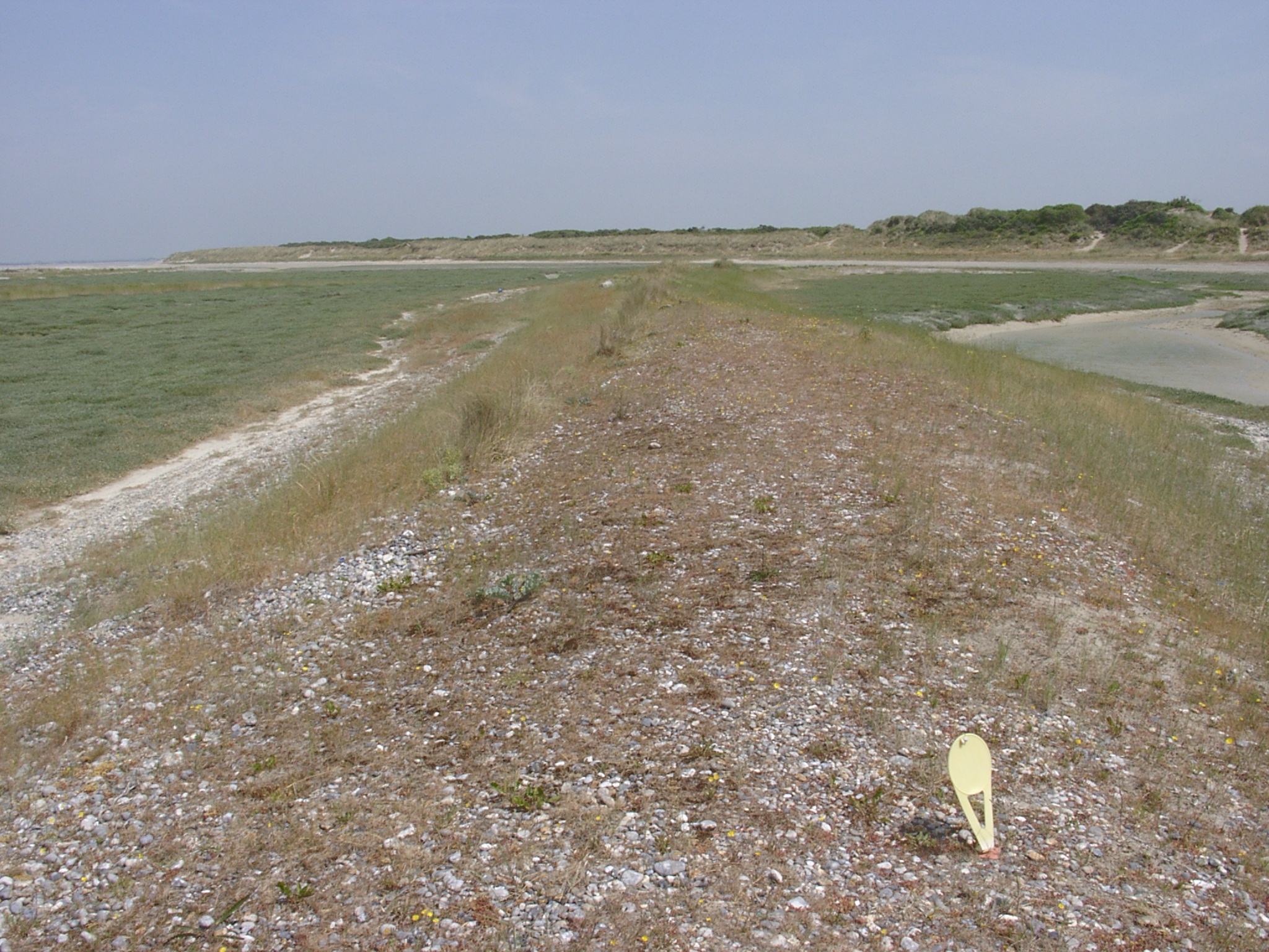 x: 395064.288, y: 5562946.968. View north along old ridge. Old ridges are much more rounded, less high and covered by more mature vegetation. |
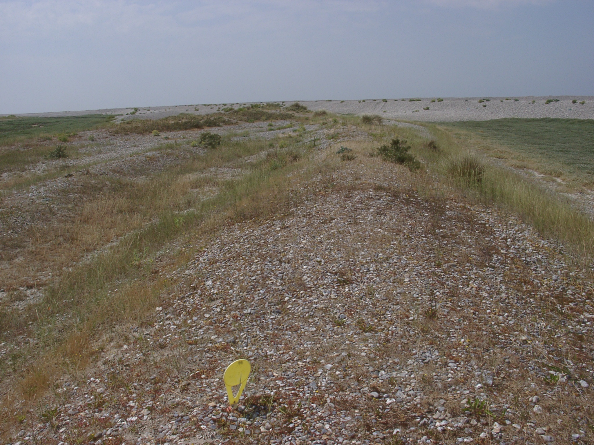 x: 395064.288, y: 5562946.968. View south along old ridge. Old ridges are much more rounded, less high and covered by more mature vegetation compared to more recent ridges in the background. |
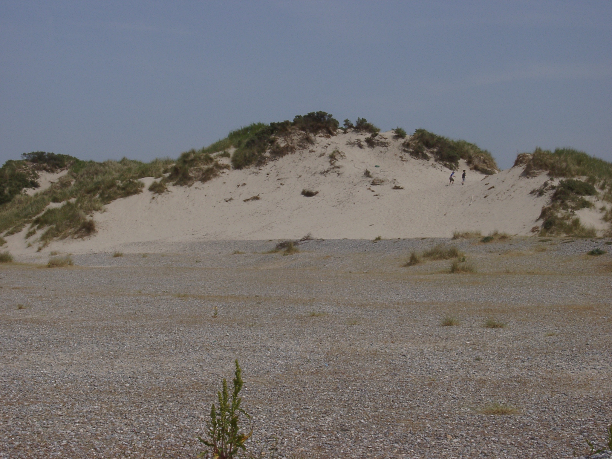 x: 394417, y: 5562250. View landwards towards the dunes sewards of the road D102. Dune erosion / retreat has exposed old shingle ridge underneath. Two persons in the dunes for scale. |