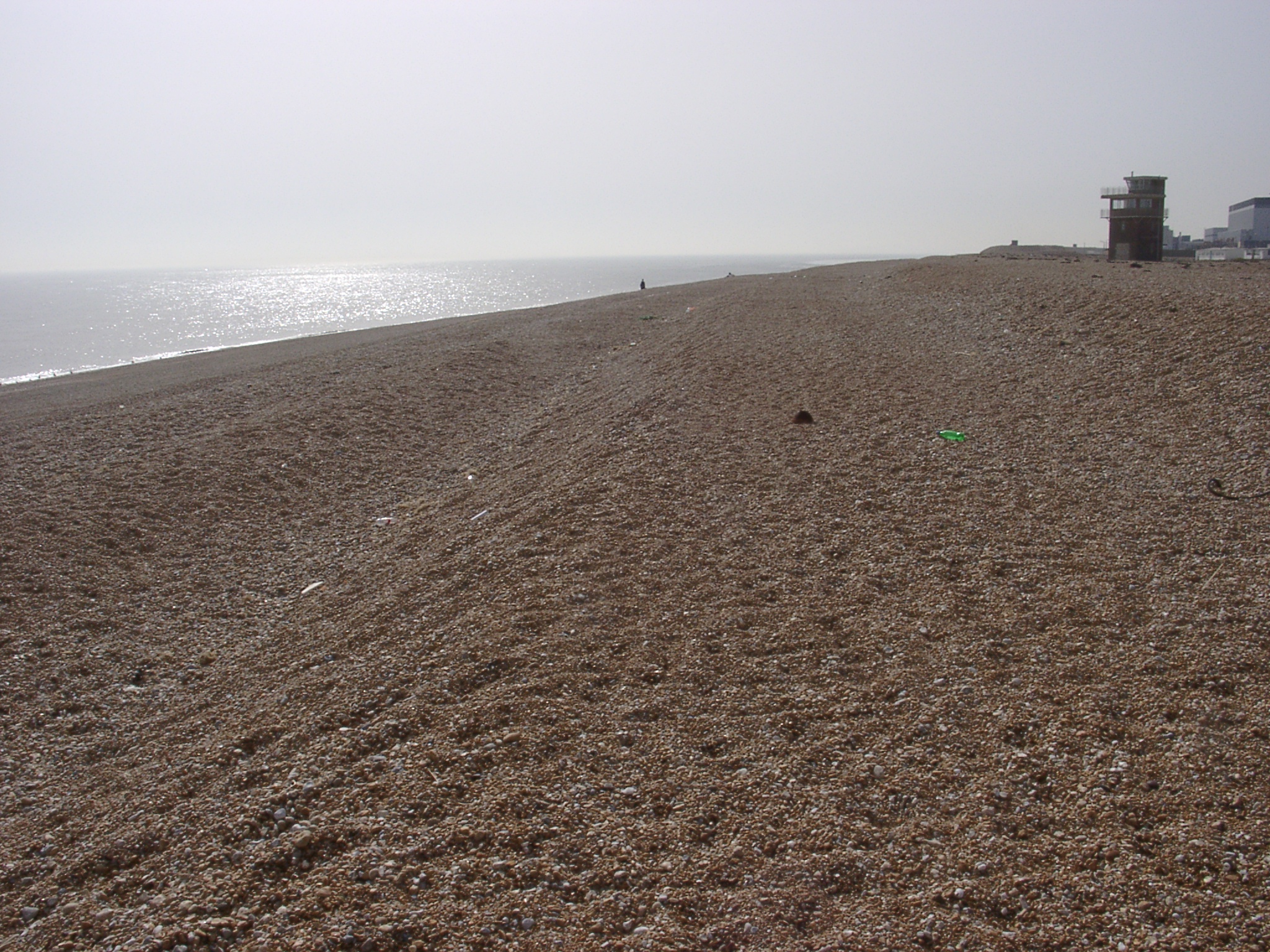
 04150067.jpg 15/04/2003 14:36 View west from close to the tip at Dungeness (~609000/116600) along different storm berms. The power station can be seen at the right hand margin. Note the small grain size of gravel and small pebbles. A higher ridge can be seen in the background fronting the power station. |
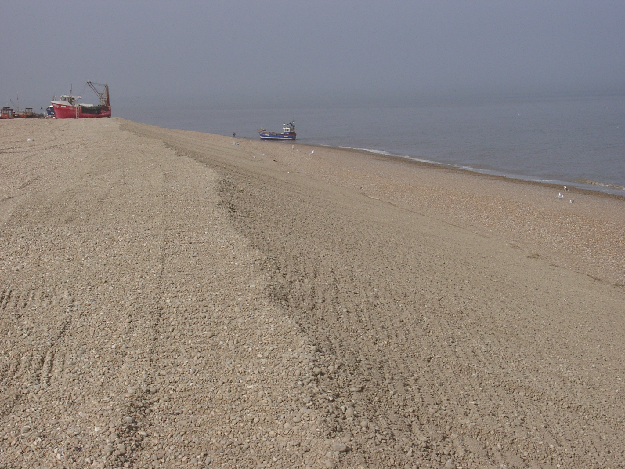
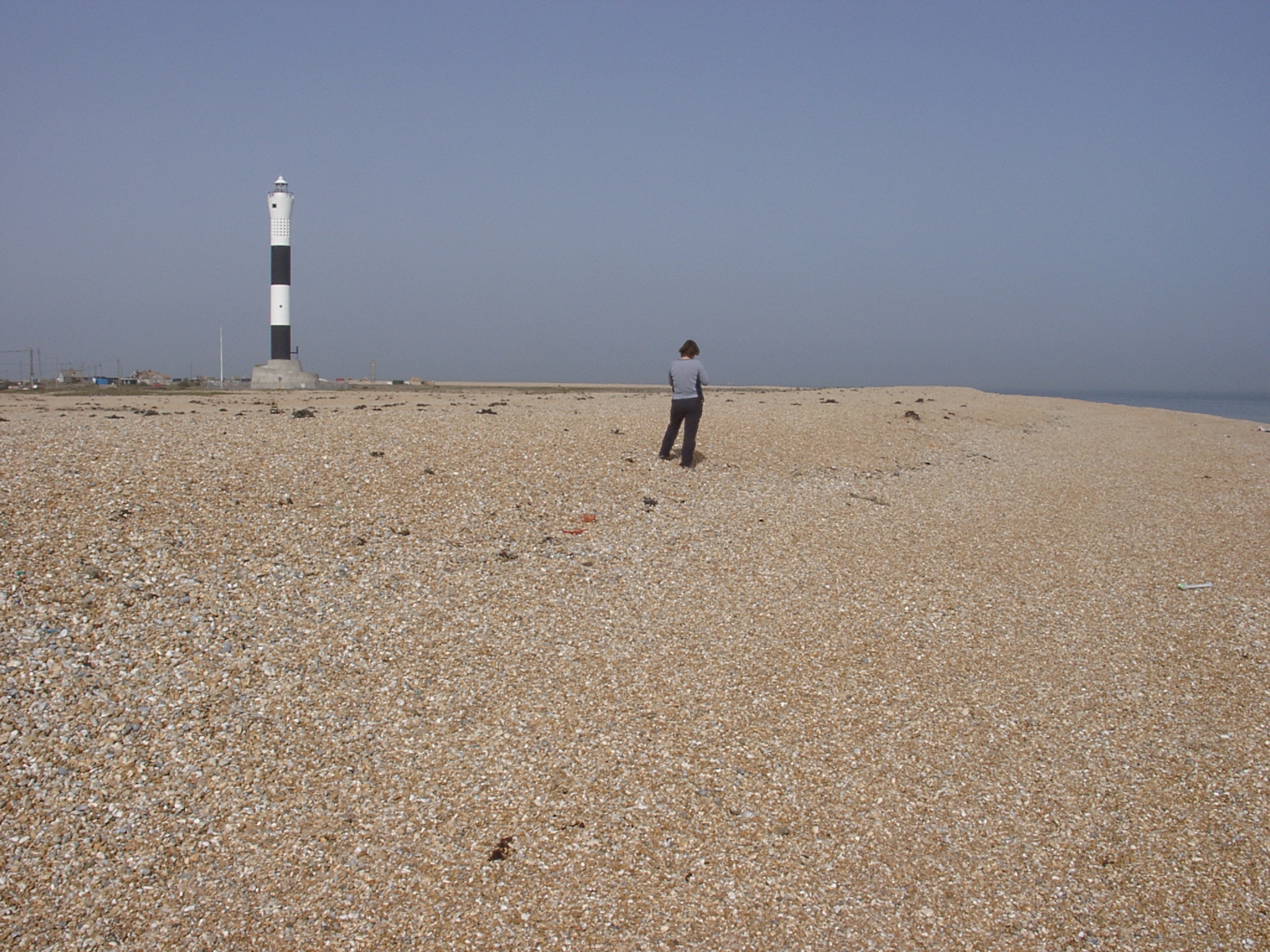 04150068.jpg 15/04/2003 14:36 View east from close to the tip at Dungeness (~609000/116600) showing the recurve of the highest storm ridge. Immediatly to the right of the light house is the area used to source the renourishment of the southern frontage. |
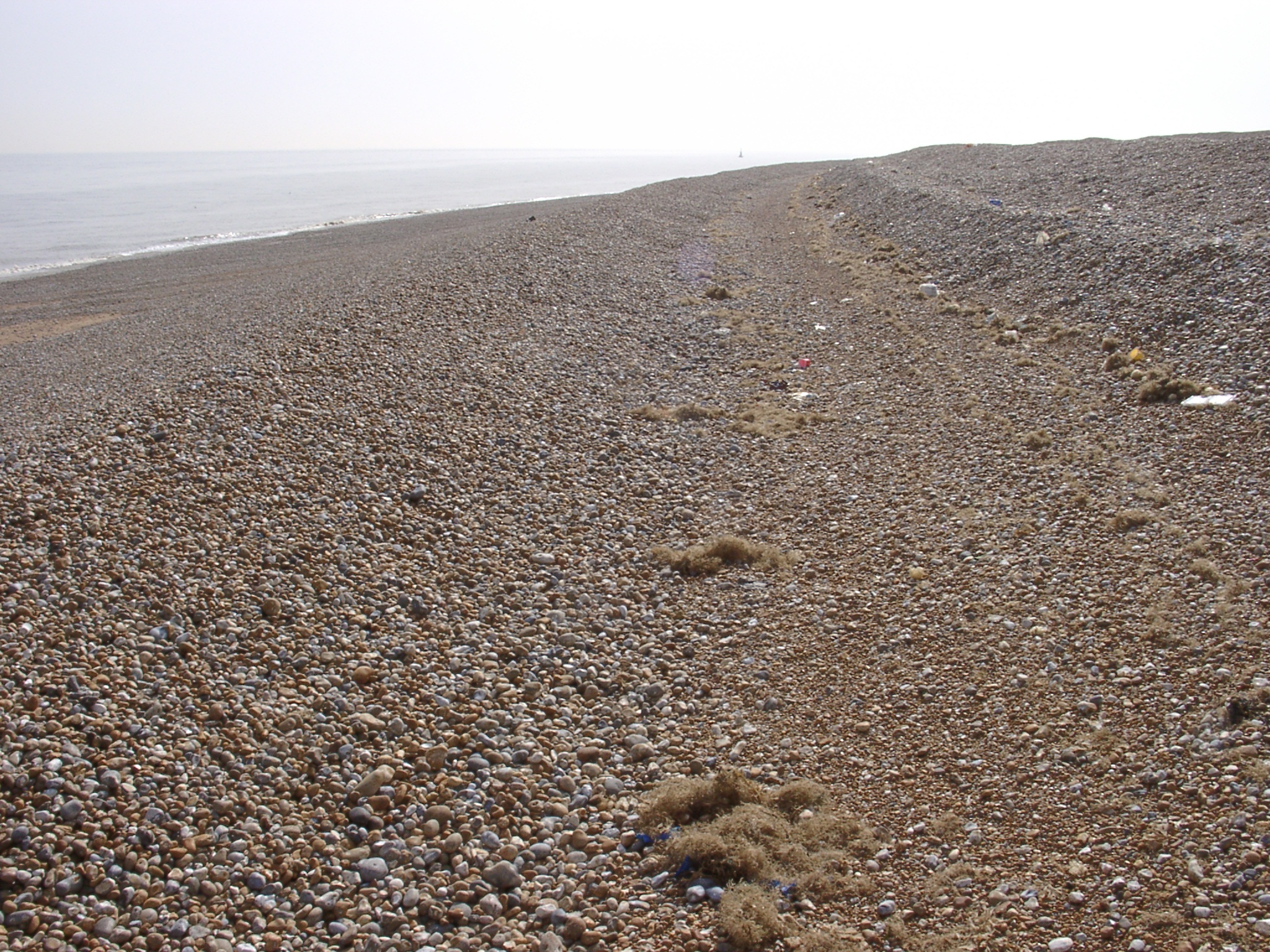
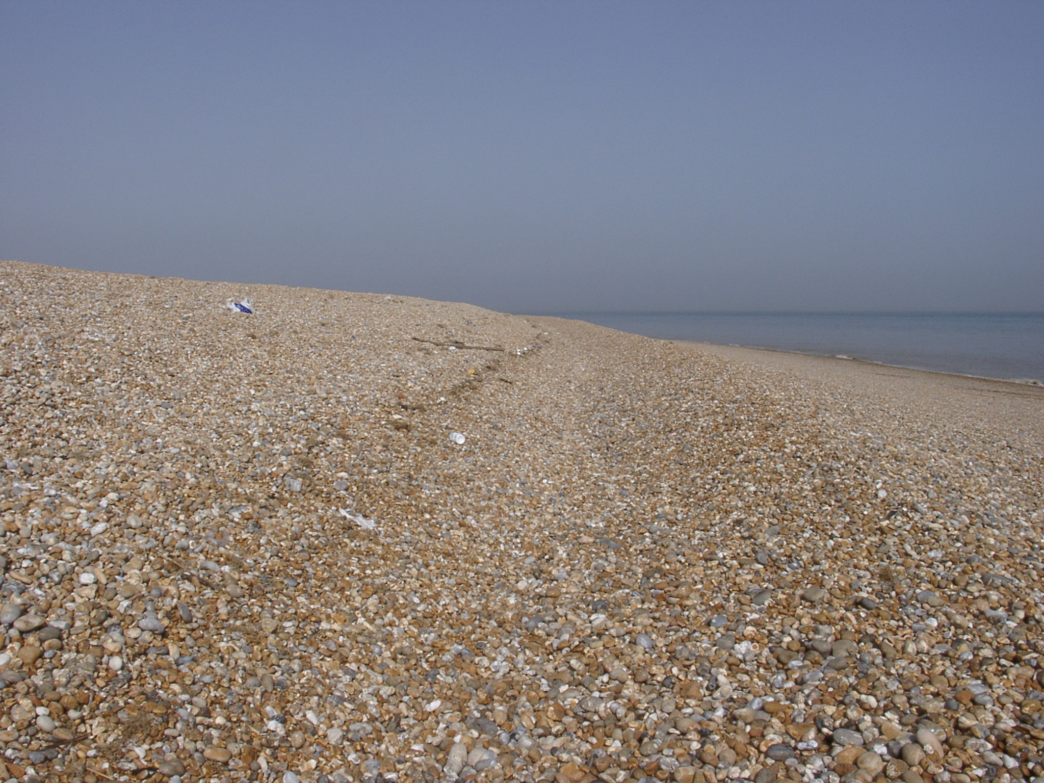 04150069.jpg 15/04/2003 14:40 View east from close to the tip at Dungeness (~609000/116600) showing the last hight-tide berm forming a ridge that rises in hight around the tip. |
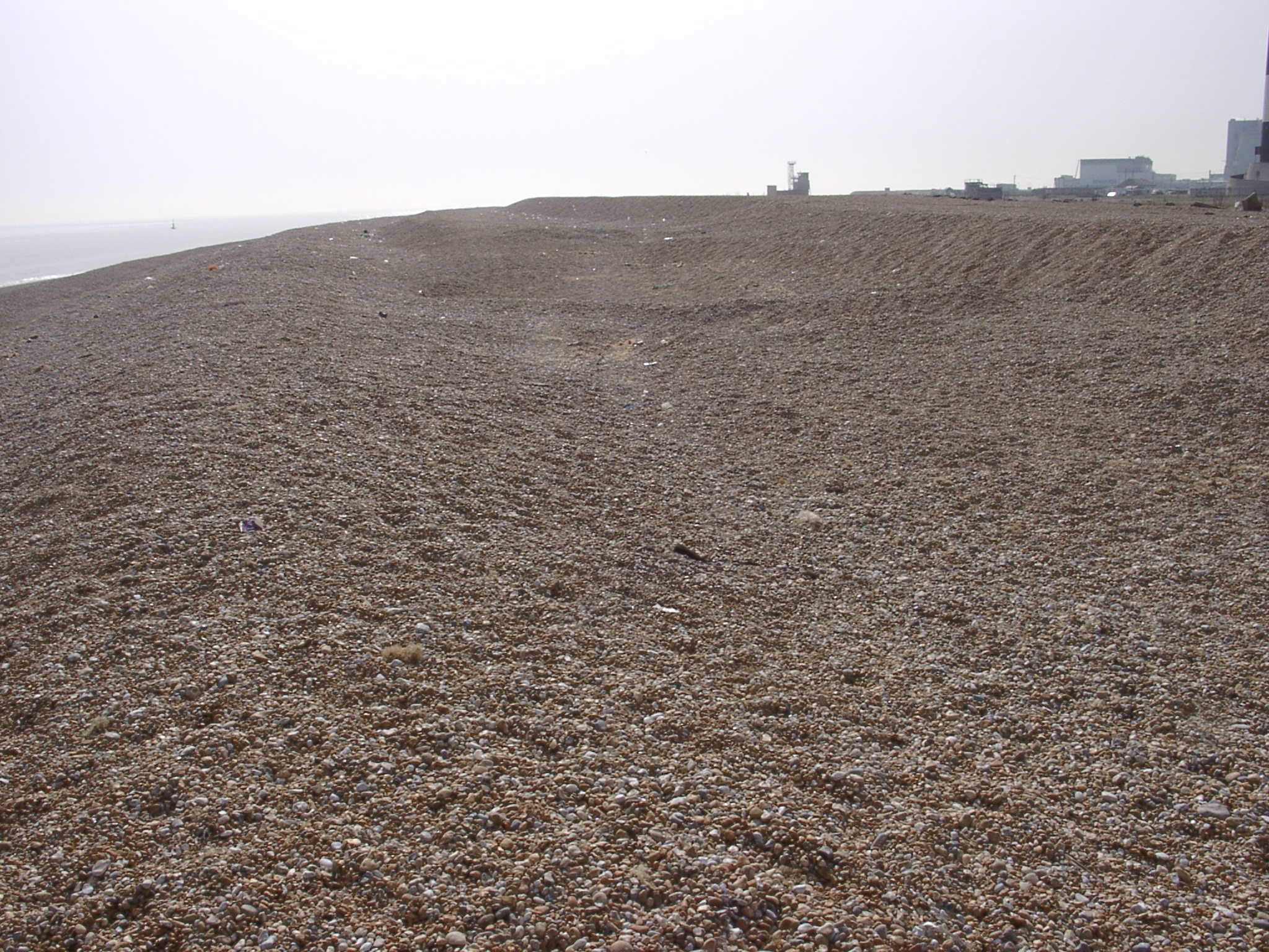 04150070.jpg 15/04/2003 14:44 View west from ~609650/116300 showing the start of the extraction area were the second highest storm berm has been removed. The power station in the background and on the very edge at the right hand side the light house. |
 04150071.jpg 15/04/2003 14:44 View soutwest from ~609650/116300 shoing the last hight-tide ridge as it has developed in size. |
 04150072.jpg 15/04/2003 14:49 View north at ~609650/116300 showing the reshaped beach in the extraction area and the 'harbour' in the back. |
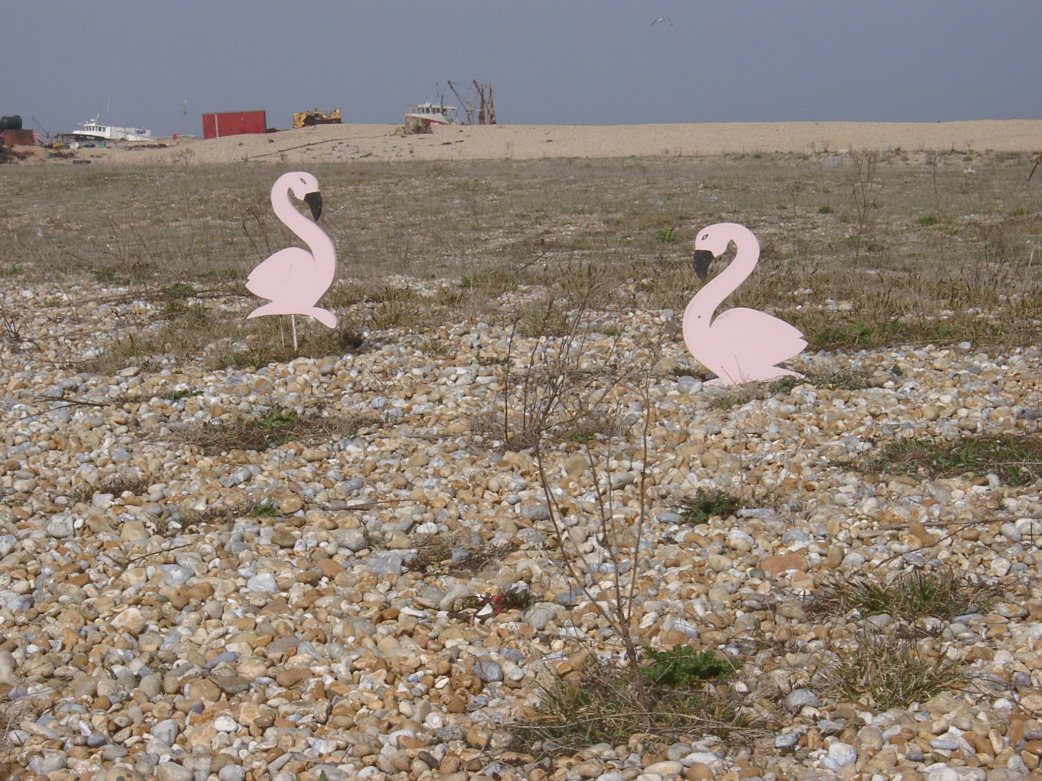 04150073.jpg 15/04/2003 14:52 Artwork on the shingle ridges with the storm berm and the 'harbour' in the background. |
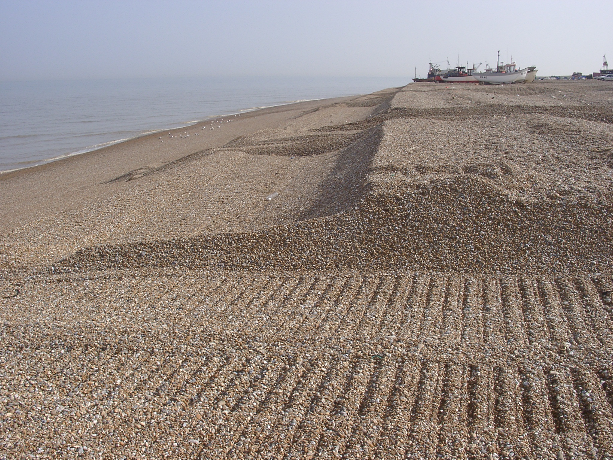
 04150074.jpg 15/04/2003 15:02 Looking north along the gravel ridges on the norther side of the 'harbour'. Perpendicular to the ridges are tracks (raised in vales betweeen the ridges) used to tow the boats. |
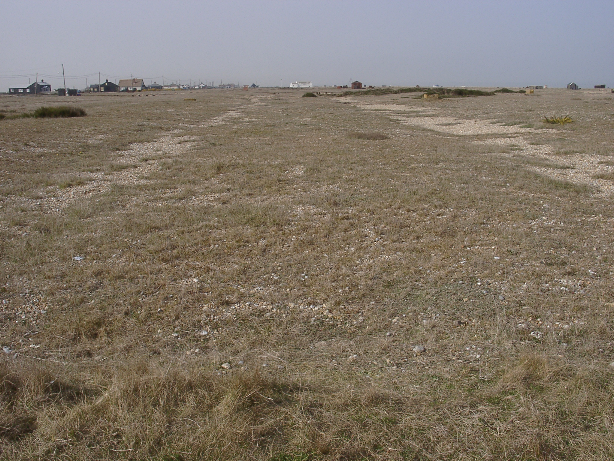 04150075.jpg 15/04/2003 15:04 Looking north along the gravel ridges on the norther side of the 'harbour'. Ridges are more vegetated than the vales between. |
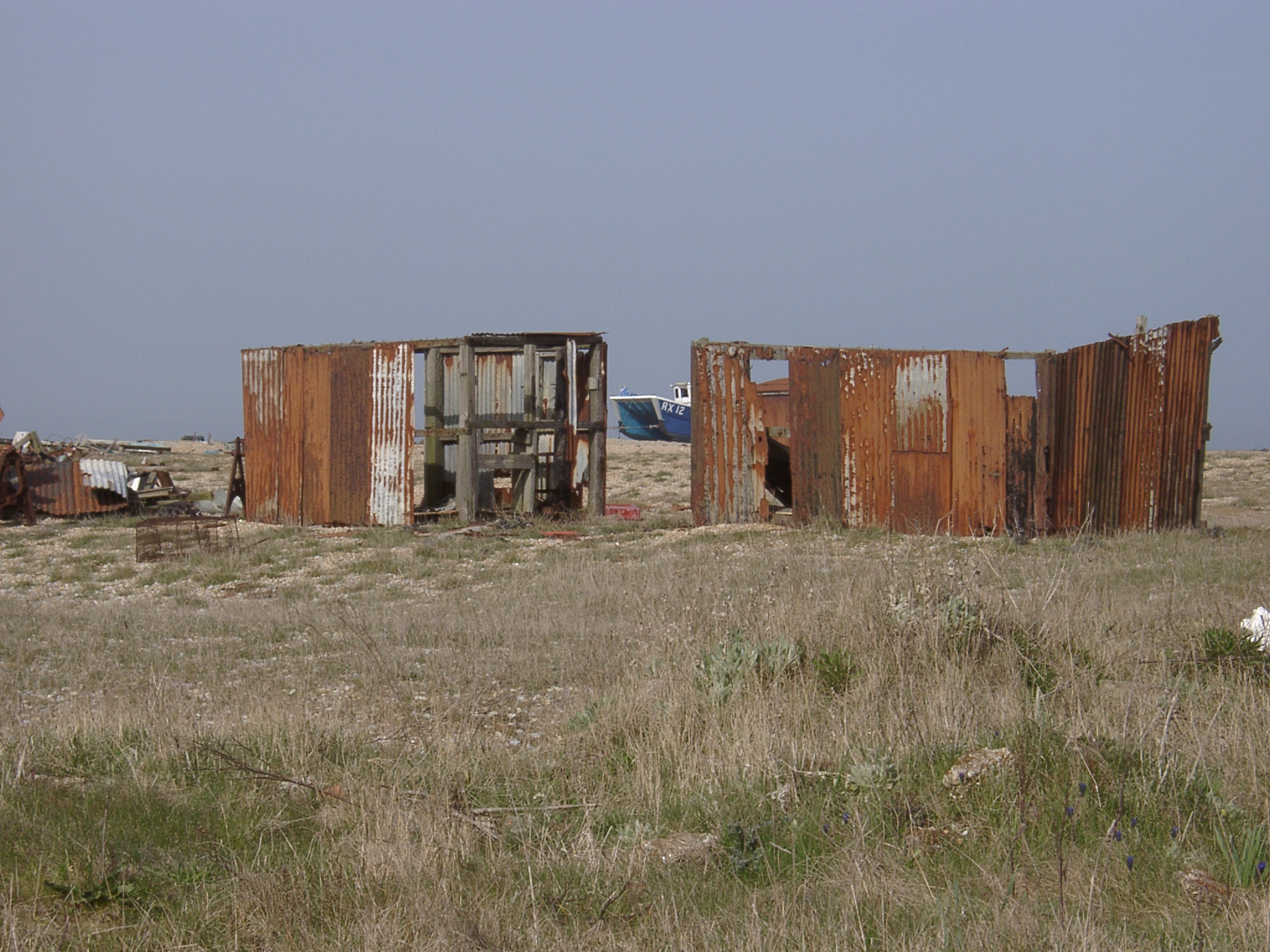 04150076.jpg 15/04/2003 15:05 On the norther side of the 'harbour'. Hut remnants on inactive gravel ridge with the boat lying on the present day storm ridge. |
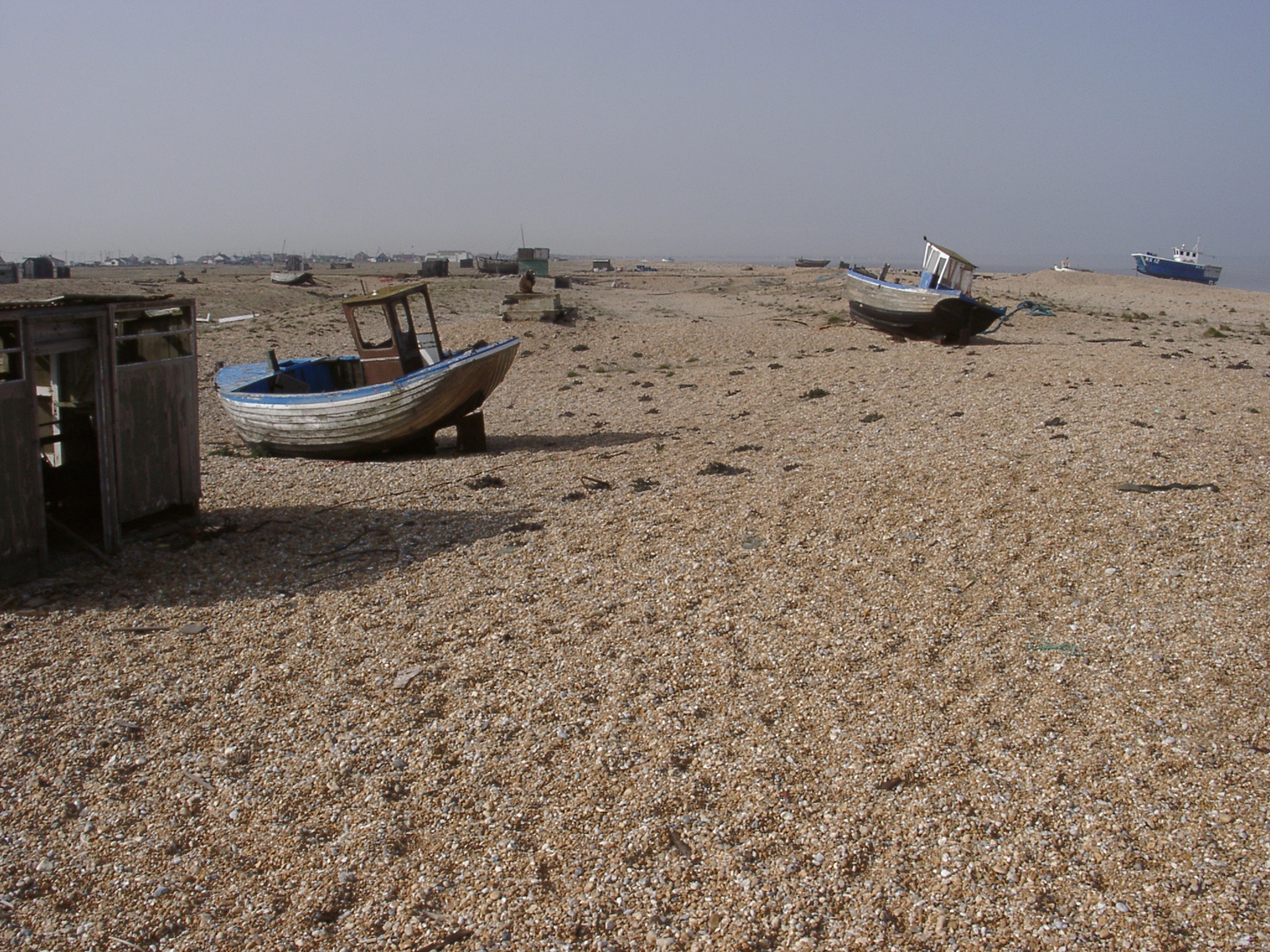 04150077.jpg 15/04/2003 15:07 Looking north along the foremost gravel ridges on the norther side of the 'harbour'. Some of the ridge structure has been disturbed by fishing activity. |
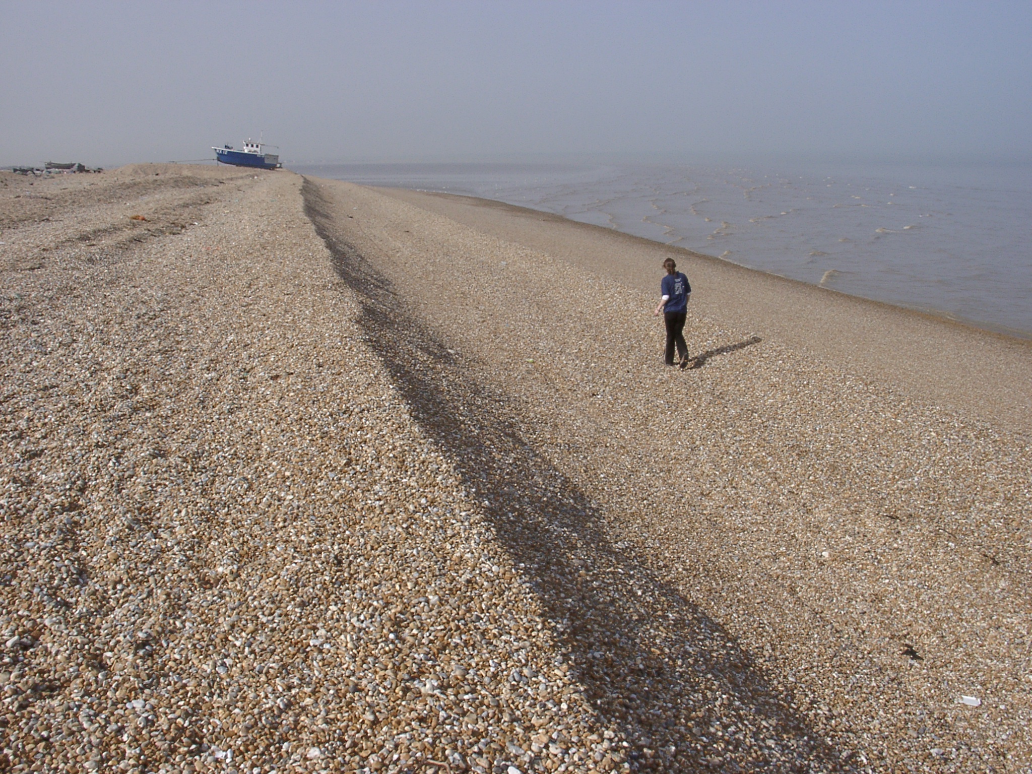 04150078.jpg 15/04/2003 15:08 Looking north along the gravel ridges on the northern side of the 'harbour'. In the background the rapidly expanding lower sandy foreshore can be seen. Sany foreshore is also suggested from the wave breaking pattern as far as along the right hand side of the image. |
 04150079.jpg 15/04/2003 15:08 Looking south along the gravel ridges on the northern side of the 'harbour' showing breaches in the storm berm to allow easier access of the sea for the fishing boats. |