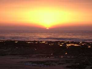
 04150003.jpg 15/04/2003 05:02 Sunrise at Broadstairs showing shore platform surface |
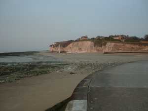 04150004.jpg 15/04/2003 05:06 Southern side of Dumpton Gap, Broadstairs at low tide showing end of cliff protection and signs of recent cliff fall. |
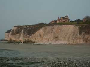 04150005.jpg 15/04/2003 05:07 Detail of the southern side of Dumpton Gap, Broadstairs, at low tide showing signs of recent cliff fall in an area of moderately stable clliffs in upper Seaford Chalk (Bedwell's columnar flint can be seen 1/4 up the cliff). |
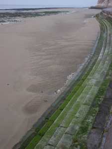 04150006.jpg 16/04/2003 20:31 Sea wall and foreshore along South Cliff, Broadstairs, showing sand waves and ripple marks associated with the changing waves and water movement in front of the seawall during receding tide. |
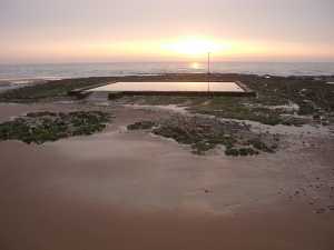 04150007.jpg 15/04/2003 05:18 Swimming pool on the shore platform at Broadstairs. |
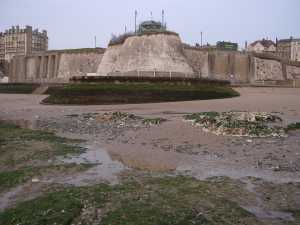 04150008.jpg 15/04/2003 05:20 View from the swimming pool towards the cliffs at Broadstairs with the main bay to the right. Note the changing beach level around the promontory with a dry beach in the right hand bay. |
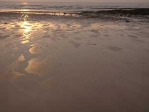 04150009.jpg 15/04/2003 05:22 Small surface irregularities in the otherwise smooth sandy foreshore at Broadstairs. Pattern may be due to the topography of the underlying shore platform. |
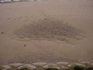 04150010.jpg 15/04/2003 05:31 View of the sandy foreshore just north of Broadstairs Harbour looking from the sea wall (concrete triangles in the foreground) seawards. Sandwave and ripple patterns reflect changing wave and current conditions during the receding tide. |
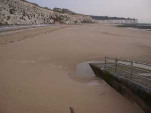 04150011.jpg 15/04/2003 05:33 View of East Cliff Bay north of Broadstairs showing narrow, dry upper beach and an extensive lower sandy foreshore that leads into the chalk shore platform. |
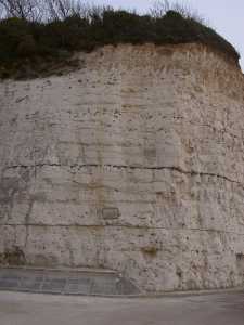 04150012.jpg 16/04/2003 20:31 Section of the cliff at the northern end of East Cliff Bay with Whitaker's Three Inch Flint Band half way up the section and small scale involutions along the top of the cliff. |
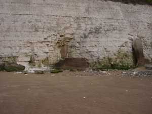 04150013.jpg 15/04/2003 05:42 Crumbling cliff protection between East Cliff Bay and Joss Bay. The right hand concrete wall is fully detached from the cliff! |
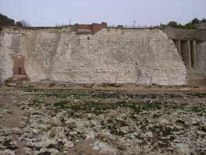 04150014.jpg 15/04/2003 05:45 Variety of cliff protection measures between East Cliff Bay and Joss Bay. Narrow finging beach of mainly sand but increasing amounts of black flint (cobble size) towards Joss Bay. |
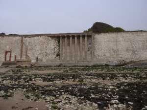 04150015.jpg 15/04/2003 05:47 Cliff protection measures between East Cliff Bay and Joss Bay. The shingle accumulation in the centre of the image is associated with a crumbling sea all that was constructed in front of the 'terrace'. |
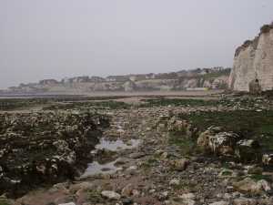 04150016.jpg 15/04/2003 05:49 View south into East Cliff Bay showing excavated path in the shore platform. Cliff in the back ground are largely stabilised by protective sea wall. |
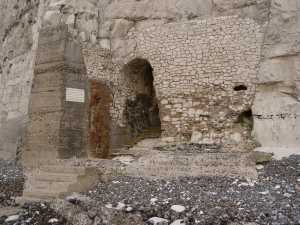 04150017.jpg 15/04/2003 05:55 Seaward entrance to steps leading into North Foreland Estate. The signs of erosion are rather subtle. |
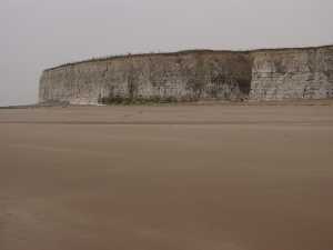 04150018.jpg 15/04/2003 06:07 Panorama 1 of Joss Bay. |
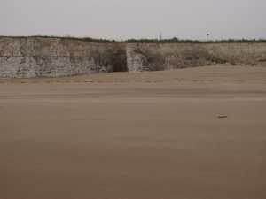 04150019.jpg 15/04/2003 06:08 Panorama 2 of Joss Bay. Note the increase in sand accumulation against the cliff. |
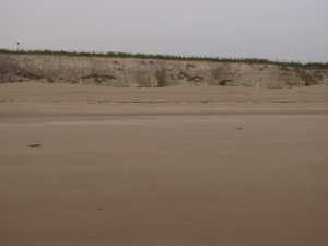 04150020.jpg 15/04/2003 06:08 Panorama 3 of Joss Bay. |
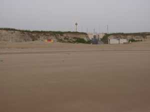 04150021.jpg 15/04/2003 06:08 Panorama 4 of Joss Bay. |
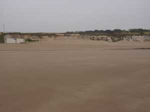 04150022.jpg 15/04/2003 06:09 Panorama 5 of Joss Bay. |
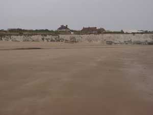 04150023.jpg 15/04/2003 06:09 Panorama 6 of Joss Bay. Note the sand accumulation that is shown in later images. |
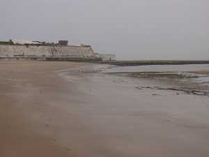 04150024.jpg 15/04/2003 06:09 Panorama 7 of Joss Bay. Note the extensive shore platform. |
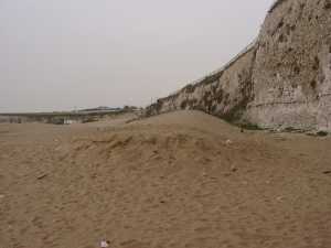 04150025.jpg 15/04/2003 06:14 View south along the base of the cliff (sea wall in the back of photographer) shows that the sand accumulation is similar to an echo dune with a furrow between dune crest and cliff. |
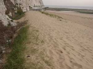 04150026.jpg 15/04/2003 06:16 View north along the crest of the echo dune towards the photograph's position in the previous photo. |
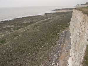 04150027.jpg 15/04/2003 06:24 View south from the cliff top just north of North Foreland Estate showing narrow fringing shingle beach consisting of balck flind cobbles and sand. Flint nodules cover significant parts of the upper half of the shore platform. |